Bonaire
Bonaire's genius is that the reef starts at the kerb.
- Best forTropical
- Approx. flying time~7h 15m from Los Angeles
- Nearest airportKralendijk (BON)
About this place
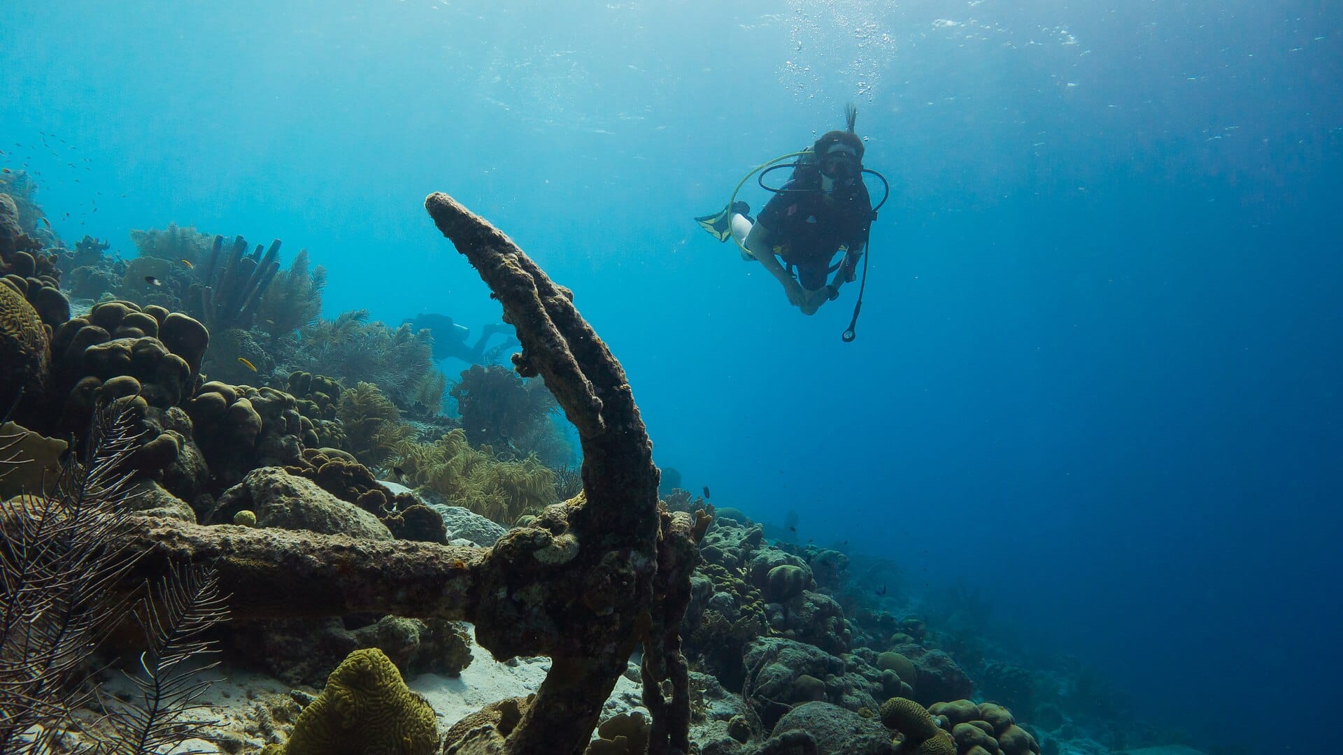
The entire coastline is a marine park, dive sites are marked by yellow roadside stones, and you simply park, wade in and descend — no boat, no schedule, no queue. That freedom suits nervous beginners perfectly: go at your own pace, surface when you like. The island sits below the hurricane belt, so conditions stay reliable virtually year-round.
Featured in Ten tropical snorkel and dive spots perfect for first-timers
When to go
Daytime highs run from about 27°C in January to 30°C in September. Driest in April and May; wettest in November, with rain on about 21 days. The sea is warmest in October at around 31°C, coolest at 27°C.
The year at a glance — pick a month for detail
August30° · rain 11 days · sea 29°Warm with rain most weeks.
Monthly figures averaged from daily records for 2020–2024 at this location (ERA5 reanalysis). Highlighted months are warm and mostly dry — March to May. Live conditions from MET Norway, CC BY 4.0.
Where to stay
Pick a budget to open live availability in Bonaire. Prices are per night for two people.
Flights
Los Angeles Bonaire
Fly from anywhere — search 4,000+ airports worldwide.
Roughly 7h 15m in the air from Los Angeles (LAX), estimated from the distance — check for a direct route. Pick a month to see every available flight with live prices.
Check dates and prices
Pick your departure date, then your return.
Search flightsNot sure when? Compare fares across a whole month.
Flight times are estimates; prices open on Google Flights.