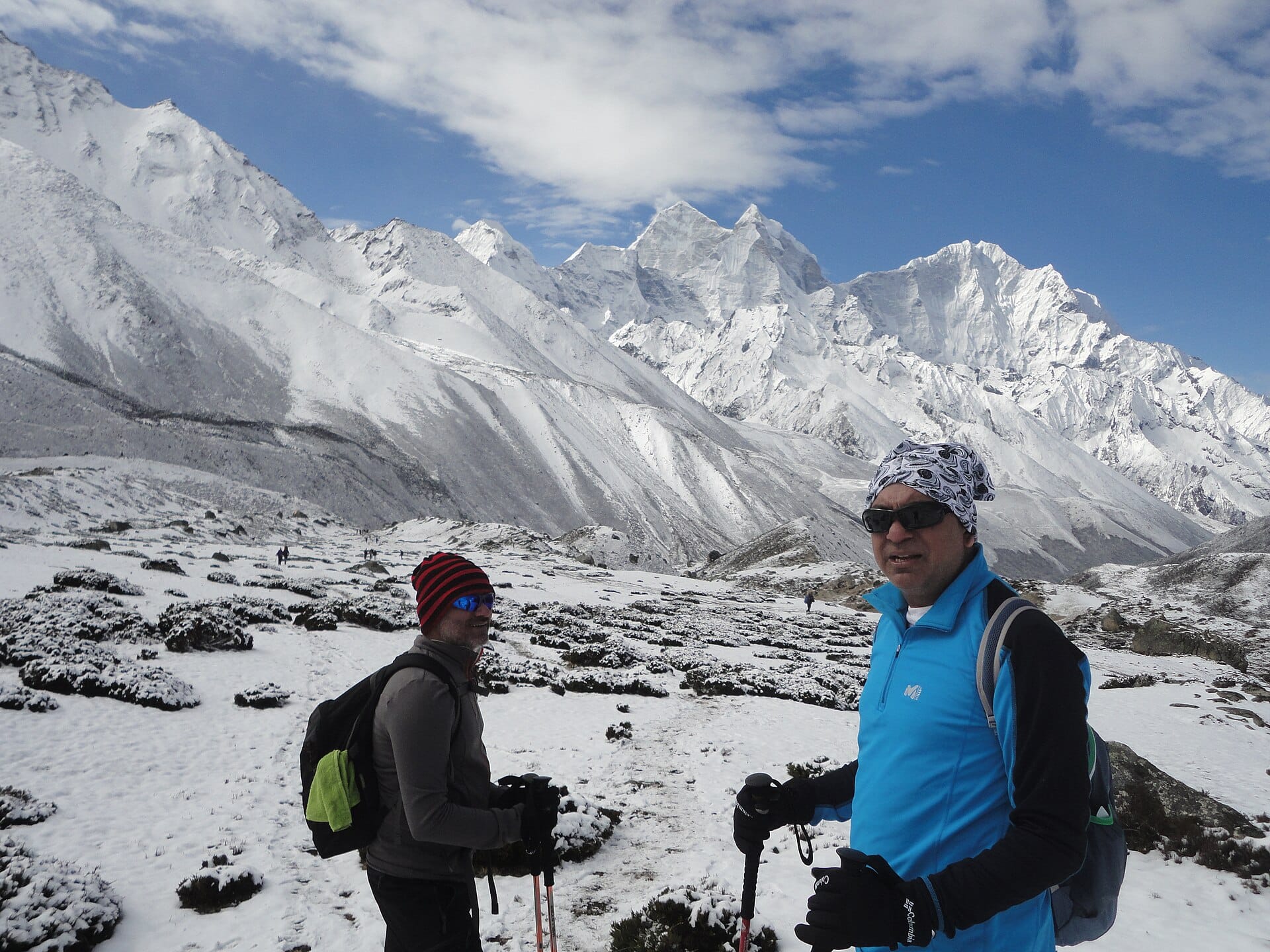
Mulhacén
Mainland Spain's highest mountain is the continent's most forgiving three-thousander: in summer a national park minibus from Capileira drops you at 2,700 metres, leaving a broad, walkable ridge to the 3,479-metre summit.
- Best forAdventure
- Approx. flying time~12h from Los Angeles
- Nearest airportGranada (GRX)
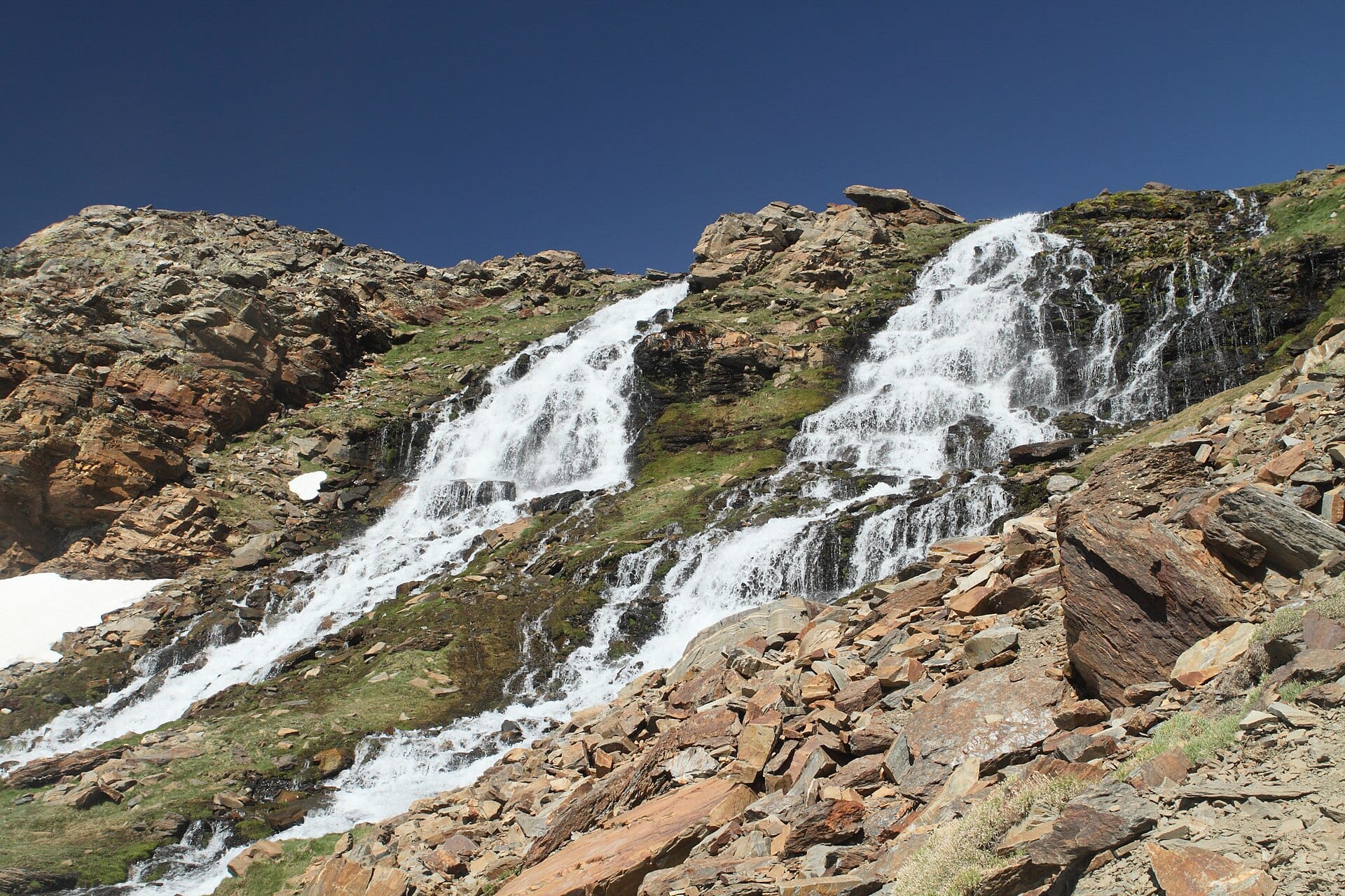
About this place
From the top the Sierra Nevada falls away towards Africa, visible across the water on clear days. Book the shuttle a few days ahead in August. Base yourself in the white villages of the Alpujarras and celebrate the descent with jamón.
Featured in Ten treks for your first big summit or base camp
When to go
Daytime highs run from about 11°C in January to 31°C in July. Driest in July and August; wettest in March, with rain on about 13 days.
The year at a glance — pick a month for detail
August30° · rain 3 daysHot with the odd shower.
Monthly figures averaged from daily records for 2020–2024 at this location (ERA5 reanalysis). Highlighted months are warm and mostly dry — June to August. Live conditions from MET Norway, CC BY 4.0.
Where to stay
Pick a budget to open live availability in Mulhacén. Prices are per night for two people.
Flights
Los Angeles Mulhacén, Spain
Fly from anywhere — search 4,000+ airports worldwide.
Roughly 12h in the air from Los Angeles (LAX), estimated from the distance — check for a direct route. Pick a month to see every available flight with live prices.
Check dates and prices
Pick your departure date, then your return.
Search flightsNot sure when? Compare fares across a whole month.
Flight times are estimates; prices open on Google Flights.
Nearby destinations
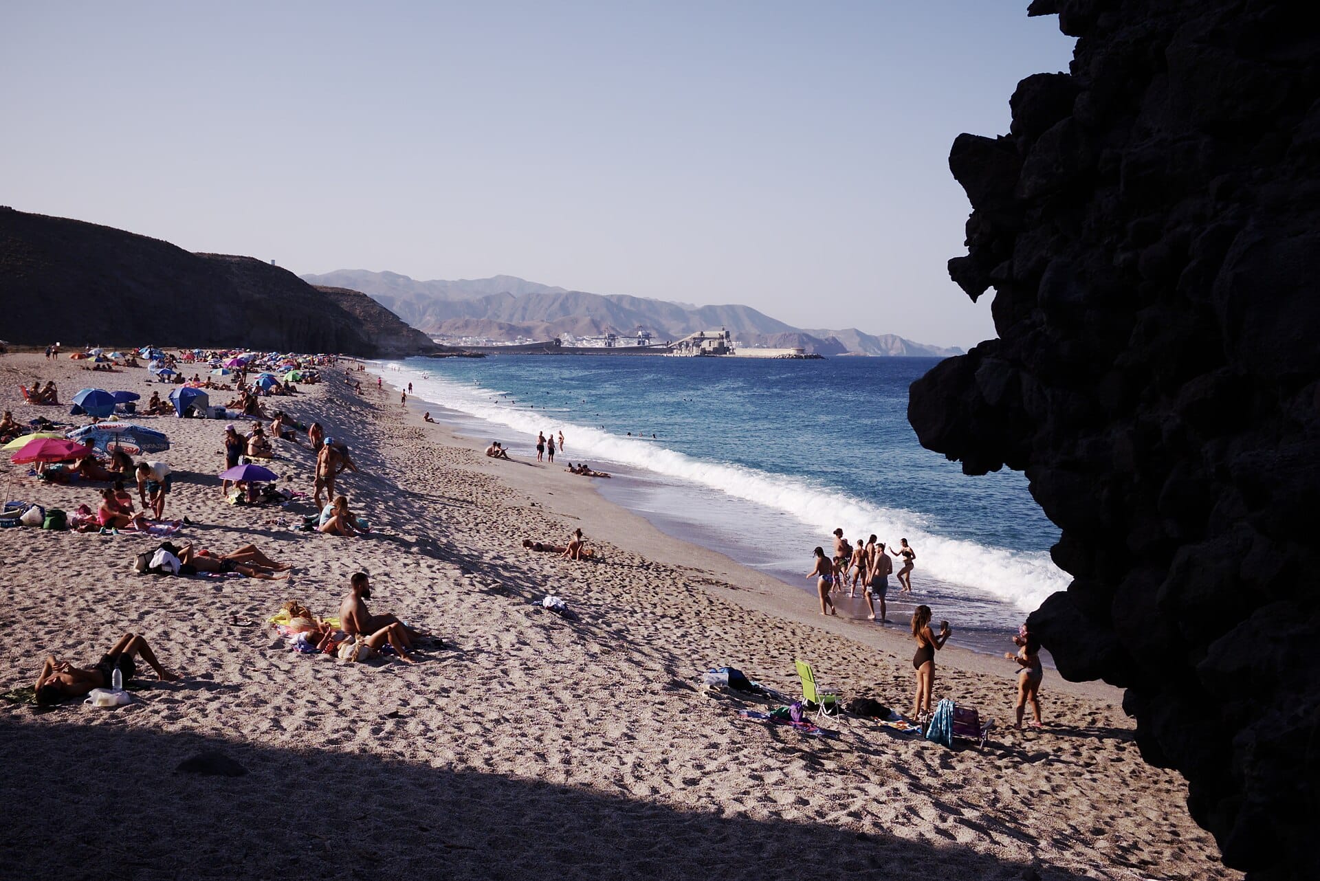
Playa de los Muertos
Almería, Spain · 121km away →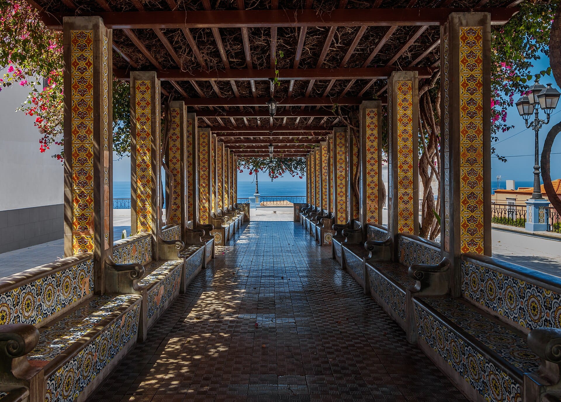
Seville
Spain · 246km away →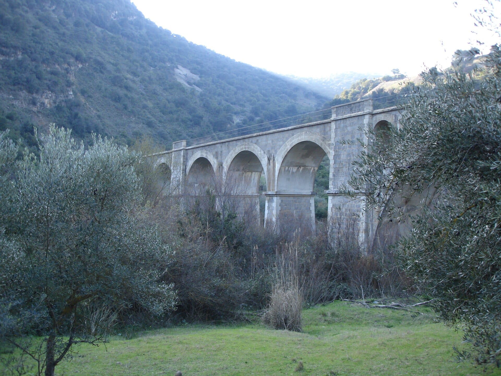
The Vías Verdes greenways
Spain · 293km away →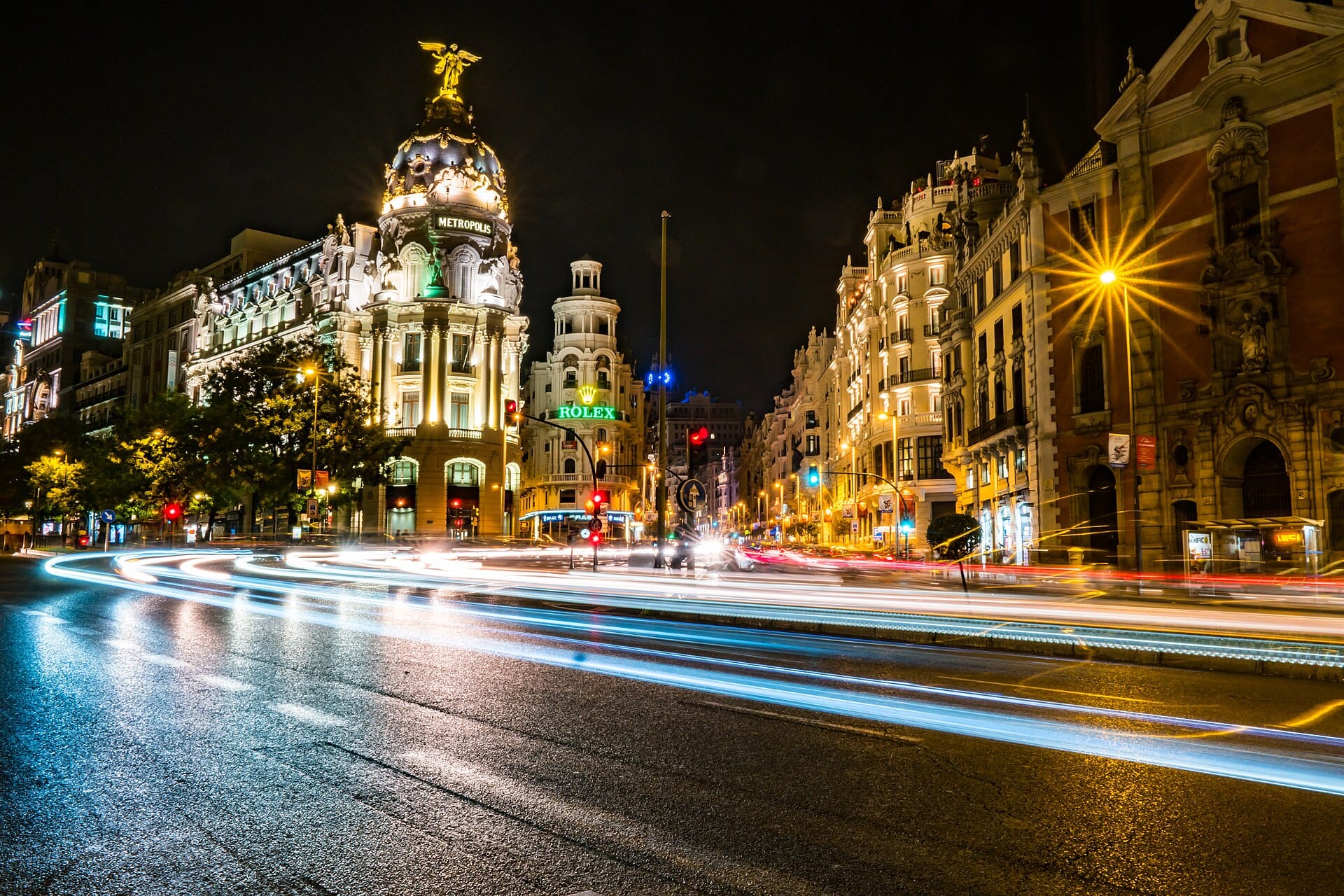
Madrid
Spain · 382km away →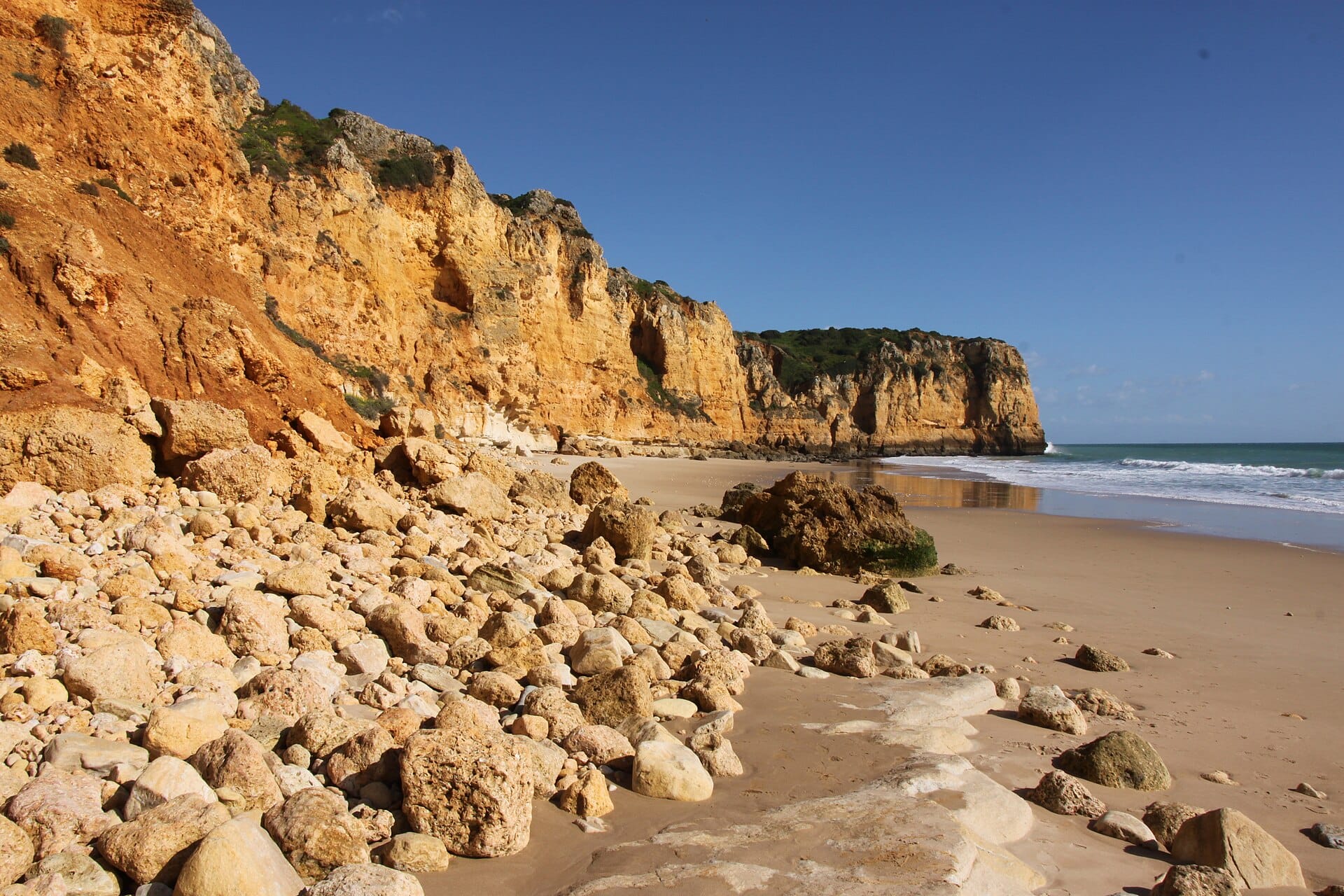
The Algarve
Portugal · 423km away →
Formentera
Spain · 454km away →Elsewhere in Spain