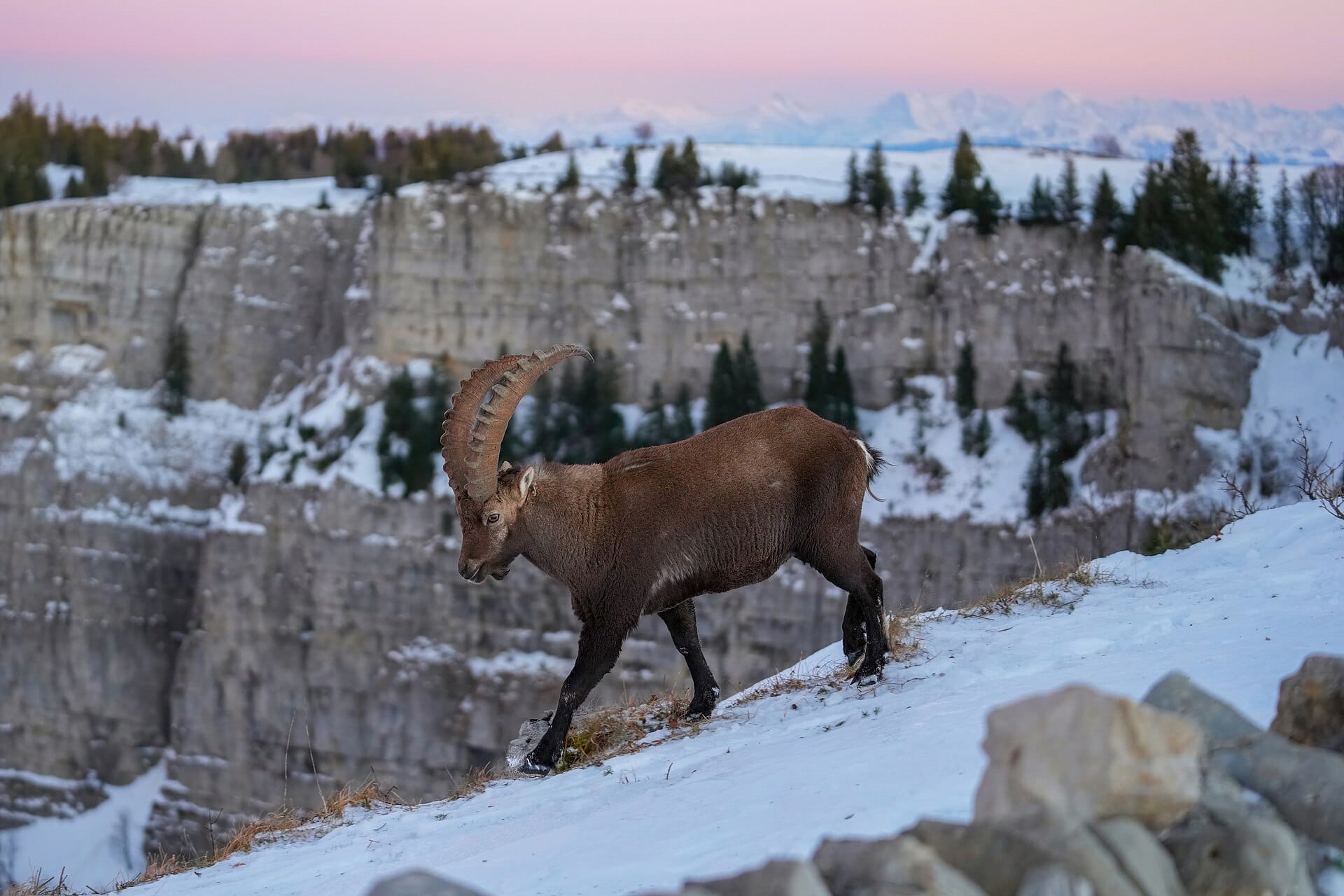
Picos de Europa
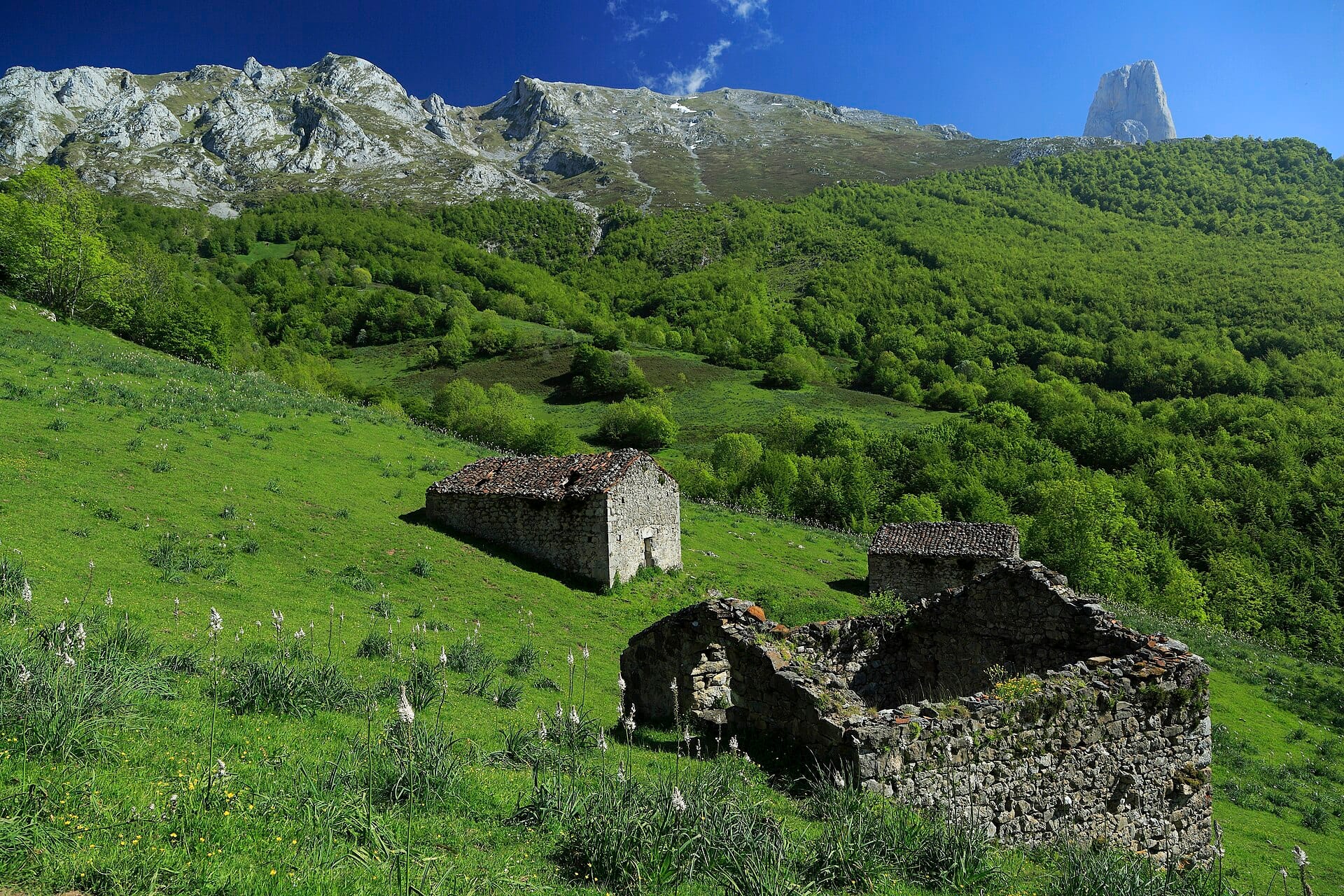
Green northern Spain hides a compact limestone range where trails link stone villages, high pastures and refuges beneath the great tusk of Naranjo de Bulnes.
- Best forMountain
- Approx. flying time~11h 30m from Los Angeles
- Nearest airportSantander (SDR)
About this place
The Fuente Dé cable car lifts you 750 metres in four minutes, opening high routes without the grind. Treks here pair nicely with serious food — this is cabrales blue-cheese and cider country. June and September offer the best balance of weather and empty paths.
Featured in Ten national parks for your first proper trek
When to go
Daytime highs run from about 1°C in January to 14°C in August. Driest in February; wettest in June, with rain on about 22 days.
The year at a glance — pick a month for detail
August14° · rain 16 daysCool and often wet.
Monthly figures averaged from daily records for 2020–2024 at this location (ERA5 reanalysis). Live conditions from MET Norway, CC BY 4.0.
Where to stay
Pick a budget to open live availability in Picos de Europa. Prices are per night for two people.
Flights
Los Angeles Picos de Europa, Spain
Fly from anywhere — search 4,000+ airports worldwide.
Roughly 11h 30m in the air from Los Angeles (LAX), estimated from the distance — check for a direct route. Pick a month to see every available flight with live prices.
Check dates and prices
Pick your departure date, then your return.
Search flightsNot sure when? Compare fares across a whole month.
Flight times are estimates; prices open on Google Flights.
Nearby destinations
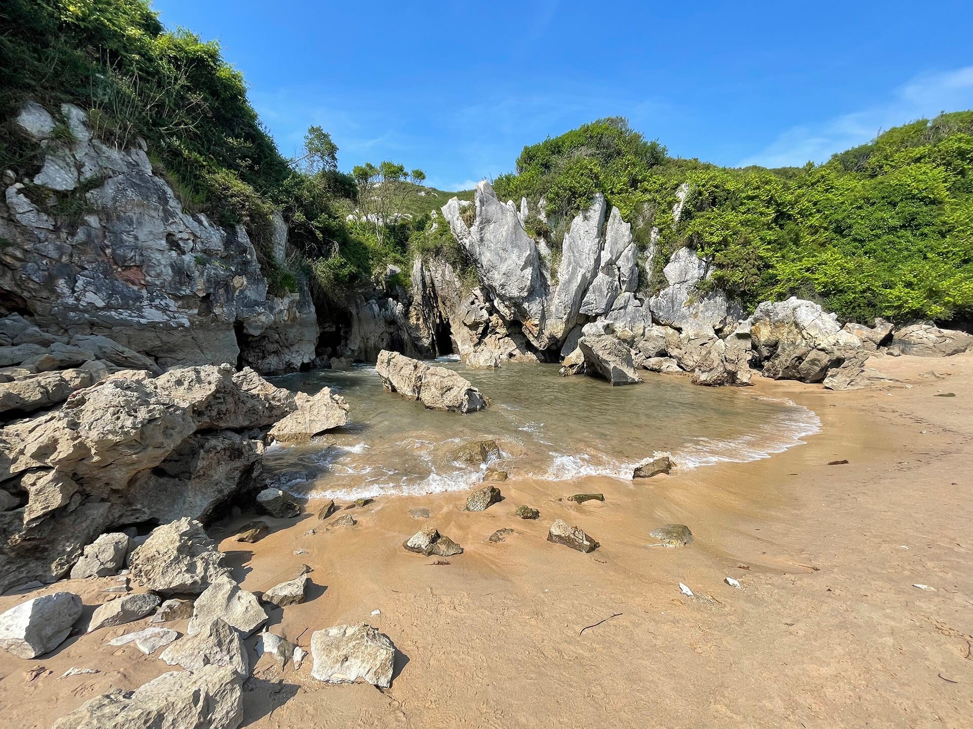
Playa de Gulpiyuri
Asturias, Spain · 29km away →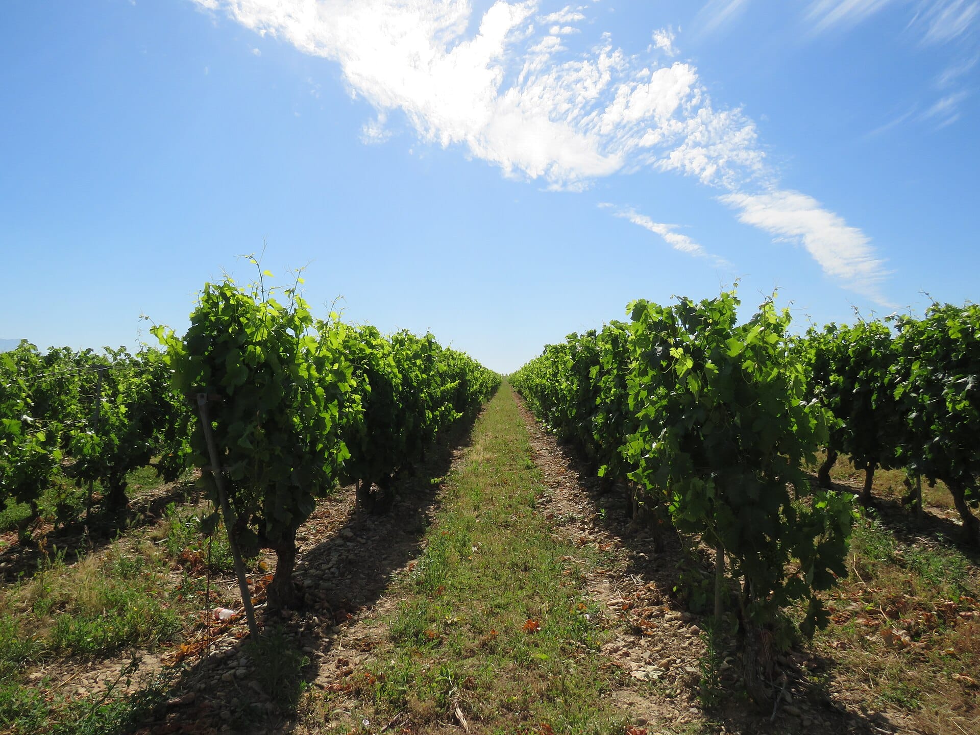
La Rioja
Spain · 217km away →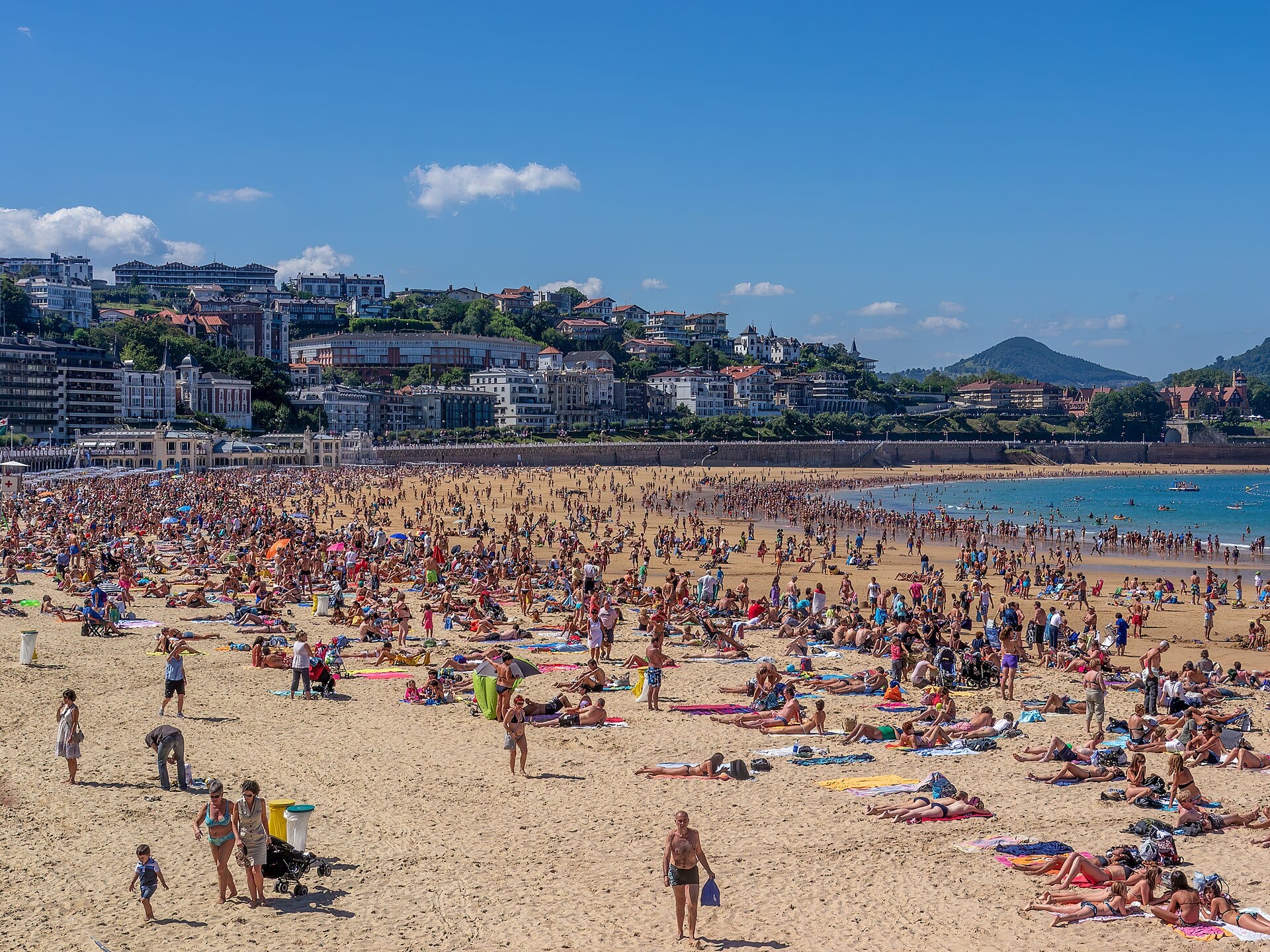
San Sebastián
Spain · 231km away →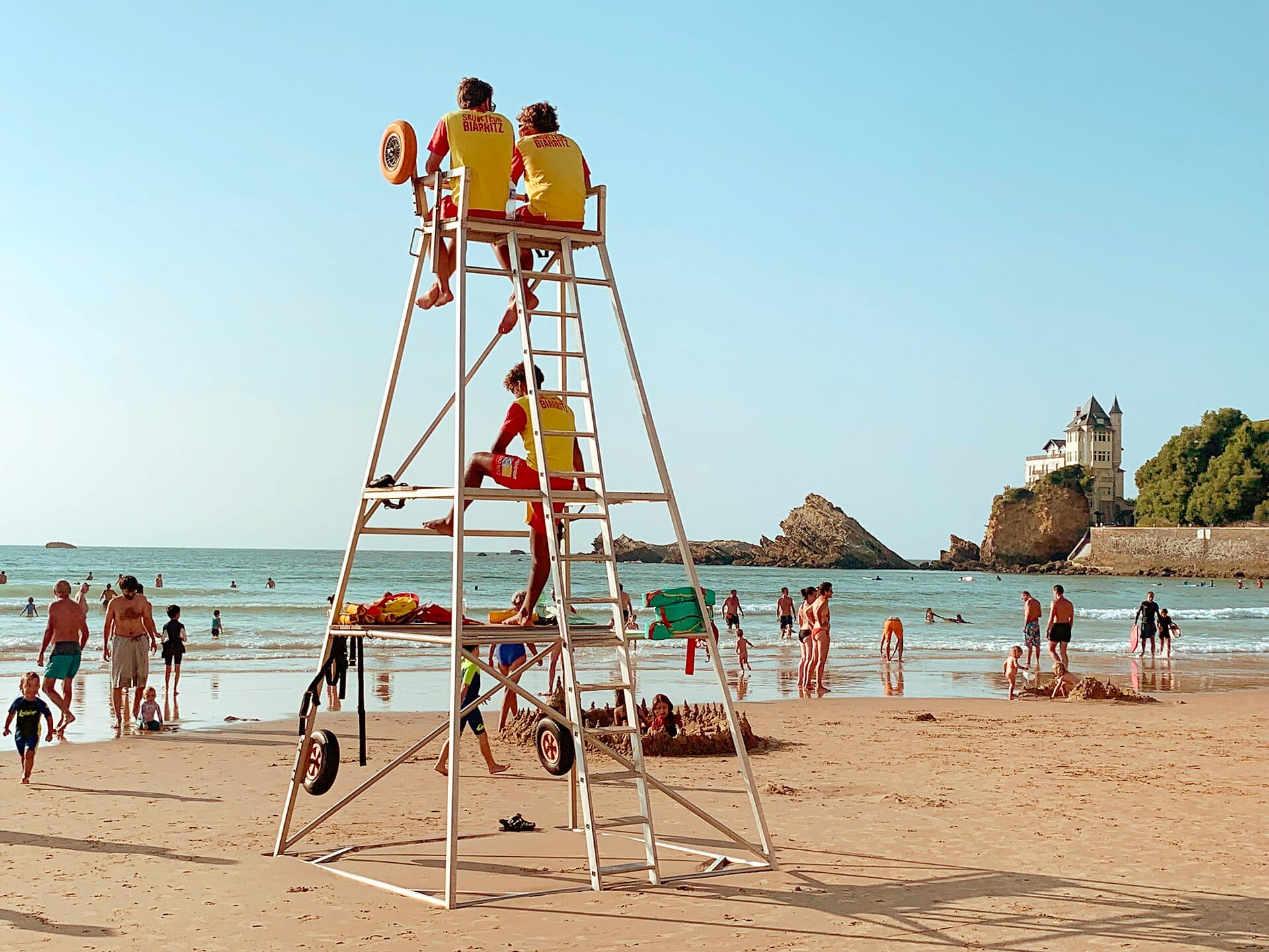
Côte des Basques
Biarritz, France · 266km away →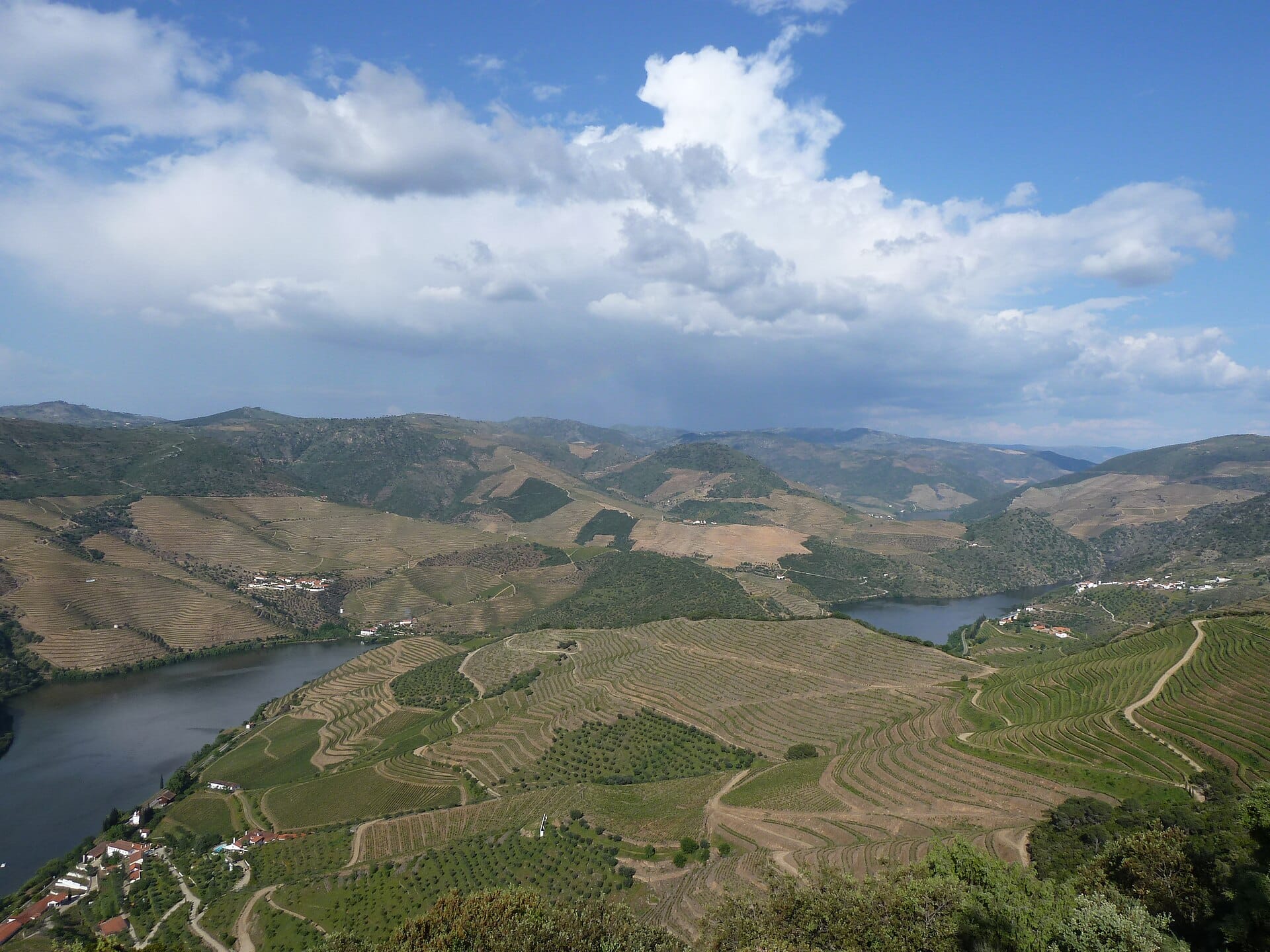
Douro Valley
Portugal · 319km away →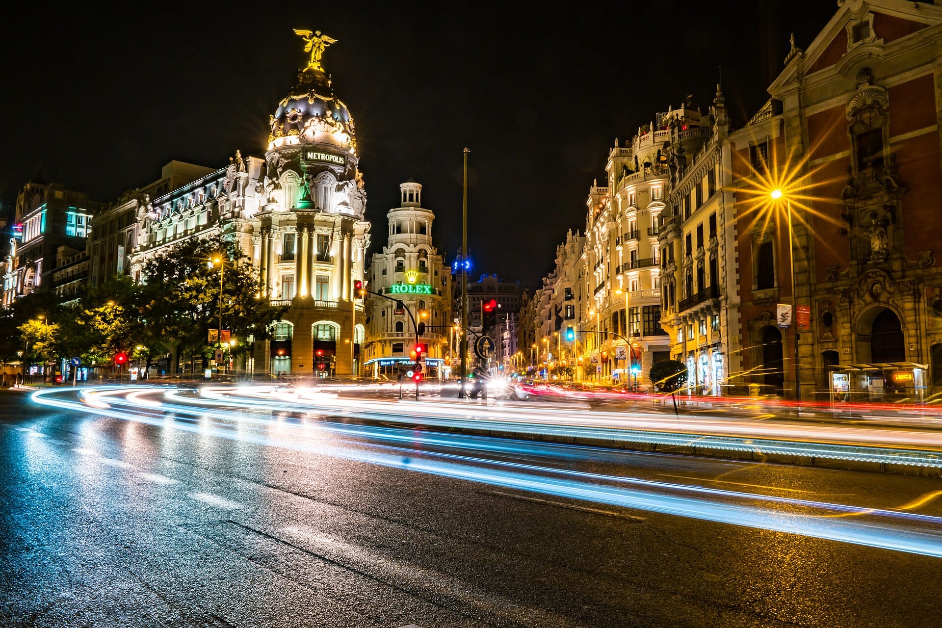
Madrid
Spain · 322km away →Elsewhere in Spain