Car hire
Exploring beyond Santa Teresa is easiest with your own wheels — compare prices for Santa Teresa:
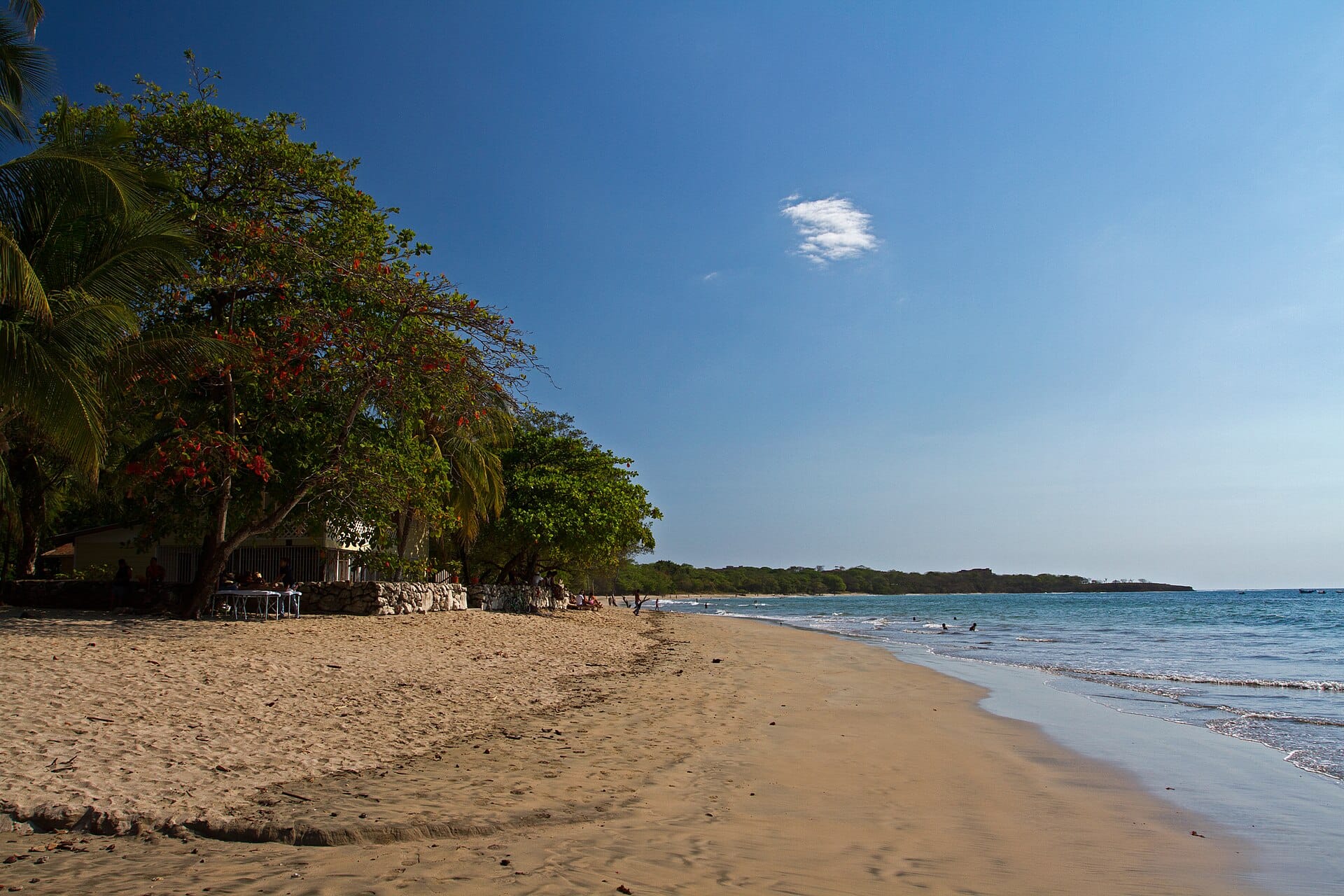
Car hire in Santa TeresaAt the tip of the Nicoya Peninsula — one of the world's five Blue Zones, where people routinely live past a hundred — Santa Teresa is a dusty road of surf shops, sushi joints and yoga decks running parallel to a beach break that works most days.
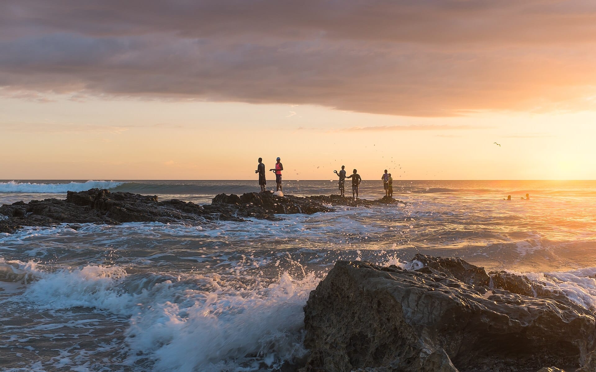
Sunsets are borderline unfair. Hire a quad bike or accept sandy feet; the road is unpaved on purpose. December to April brings dry, offshore mornings.
Featured in Ten laid-back tropical surf towns for slow mornings
Daytime highs run from about 27°C in November to 30°C in March. Driest in February; wettest in August, with rain on about 29 days. The sea is warmest in May at around 31°C, coolest at 29°C.
The year at a glance — pick a month for detail
August28° · rain 29 days · sea 30°Warm and often wet.
Monthly figures averaged from daily records for 2020–2024 at this location (ERA5 reanalysis). Highlighted months are warm and mostly dry — January to March. Live conditions from MET Norway, CC BY 4.0.
Pick a budget to open live availability in Santa Teresa. Prices are per night for two people.
Los Angeles Santa Teresa, Costa Rica
Fly from anywhere — search 4,000+ airports worldwide.
Roughly 5h 45m in the air from Los Angeles (LAX), estimated from the distance — check for a direct route. Pick a month to see every available flight with live prices.
Pick your departure date, then your return.
Search flightsNot sure when? Compare fares across a whole month.
Flight times are estimates; prices open on Google Flights.
Exploring beyond Santa Teresa is easiest with your own wheels — compare prices for Santa Teresa:
Car hire in Santa Teresa