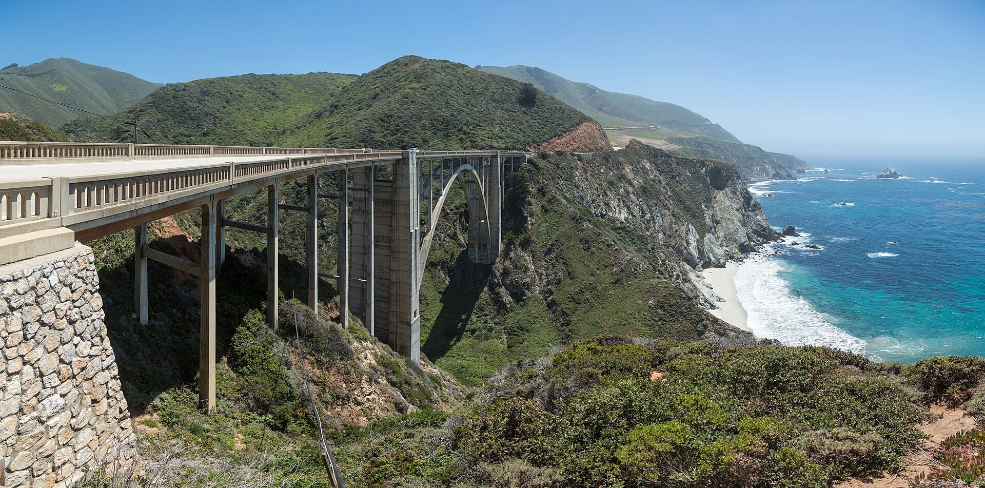
Big Sur
Ninety miles of Highway 1 where the Santa Lucia mountains fall straight into the Pacific, punctuated by the much-photographed Bixby Bridge and redwood canyons.
- Best forRomantic
- Approx. flying time~1h 05m from Los Angeles
- Nearest airportMonterey (MRY)
About this place
Drive south to north so the ocean is on your side for pulling over, and check road-status updates before setting off — landslides close sections with some regularity. Stop at Nepenthe for a clifftop lunch, and watch for whales between December and April.
Featured in Ten coastal drives for a honeymoon on wheels
When to go
Daytime highs run from about 13°C in March to 24°C in August. Driest June to October; wettest in March, with rain on about 12 days.
The year at a glance — pick a month for detail
August24° · no rainWarm and dry.
Monthly figures averaged from daily records for 2020–2024 at this location (ERA5 reanalysis). Highlighted months are warm and mostly dry — June to October. Live conditions from MET Norway, CC BY 4.0.
Where to stay
Pick a budget to open live availability in Big Sur. Prices are per night for two people.
Flights
Los Angeles Big Sur, California, USA
Fly from anywhere — search 4,000+ airports worldwide.
Roughly 1h 05m in the air from Los Angeles (LAX), estimated from the distance — check for a direct route. Pick a month to see every available flight with live prices.
Check dates and prices
Pick your departure date, then your return.
Search flightsNot sure when? Compare fares across a whole month.
Flight times are estimates; prices open on Google Flights.
Nearby destinations
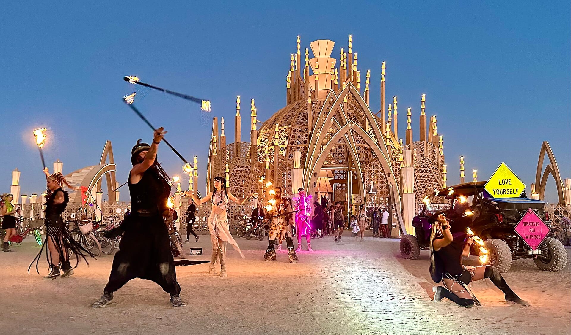
Burning Man
Nevada, USA · 556km away →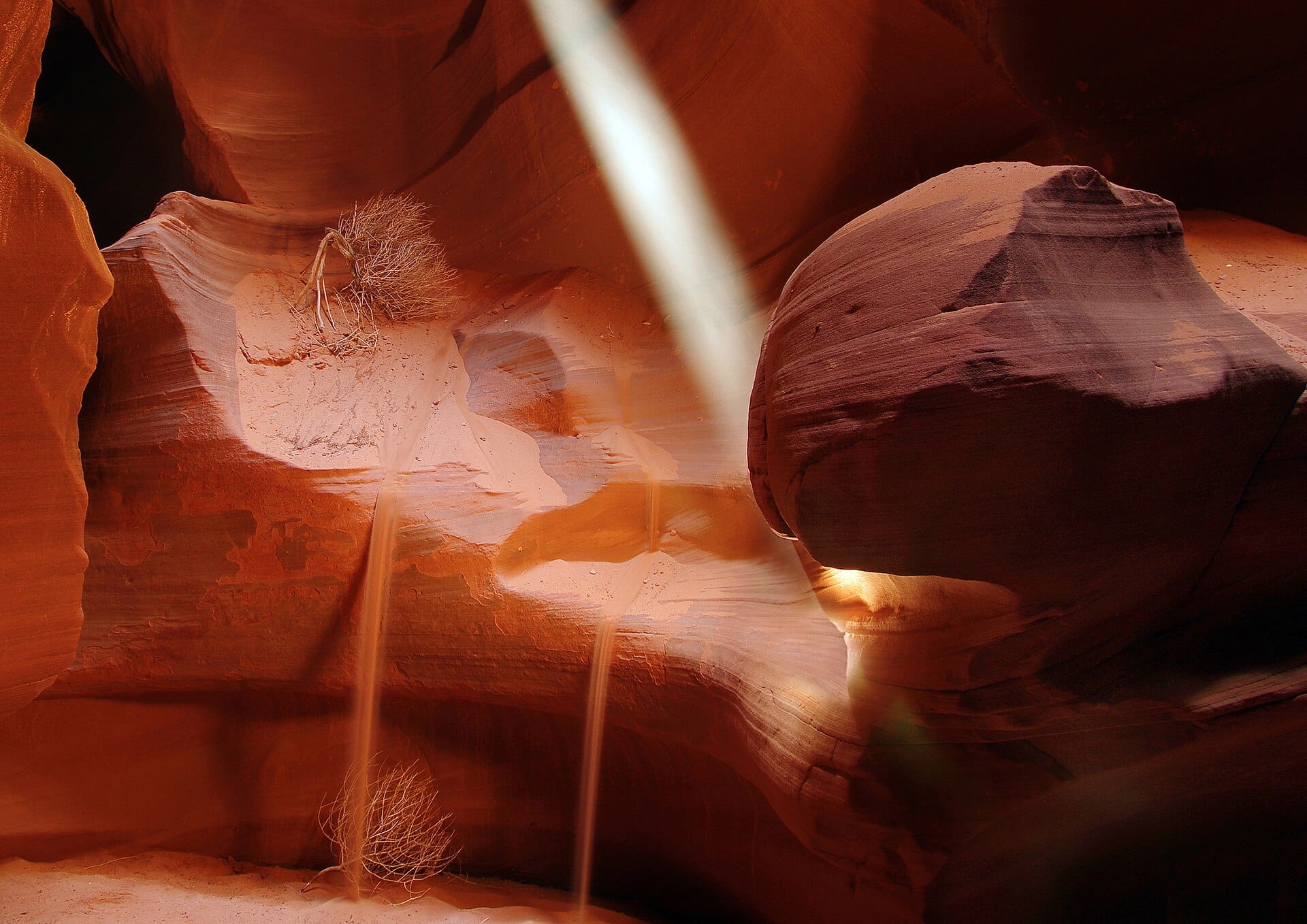
Walking the slot canyons of Antelope Canyon
Arizona, USA · 910km away →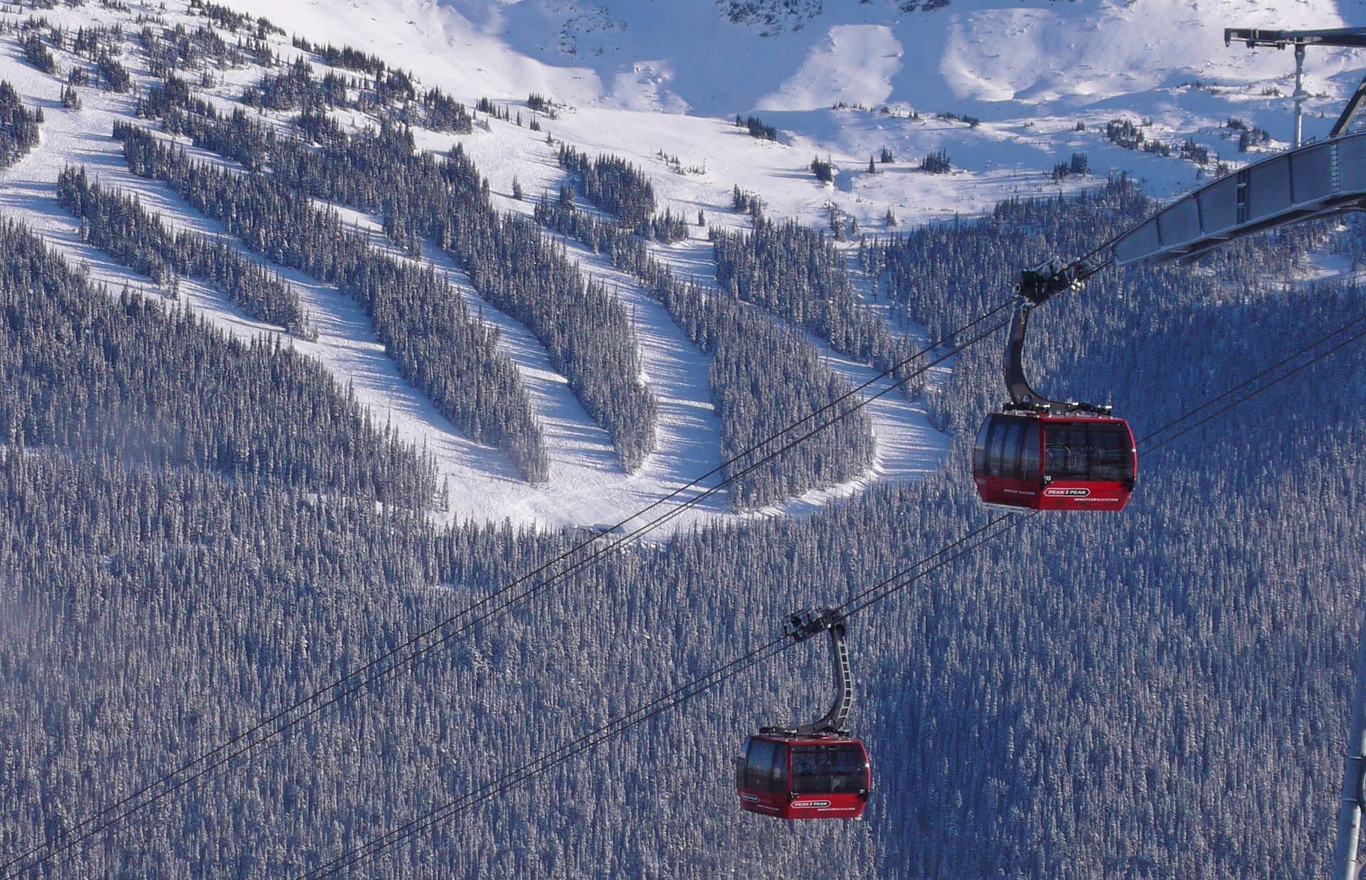
Peak 2 Peak Gondola
Whistler, Canada →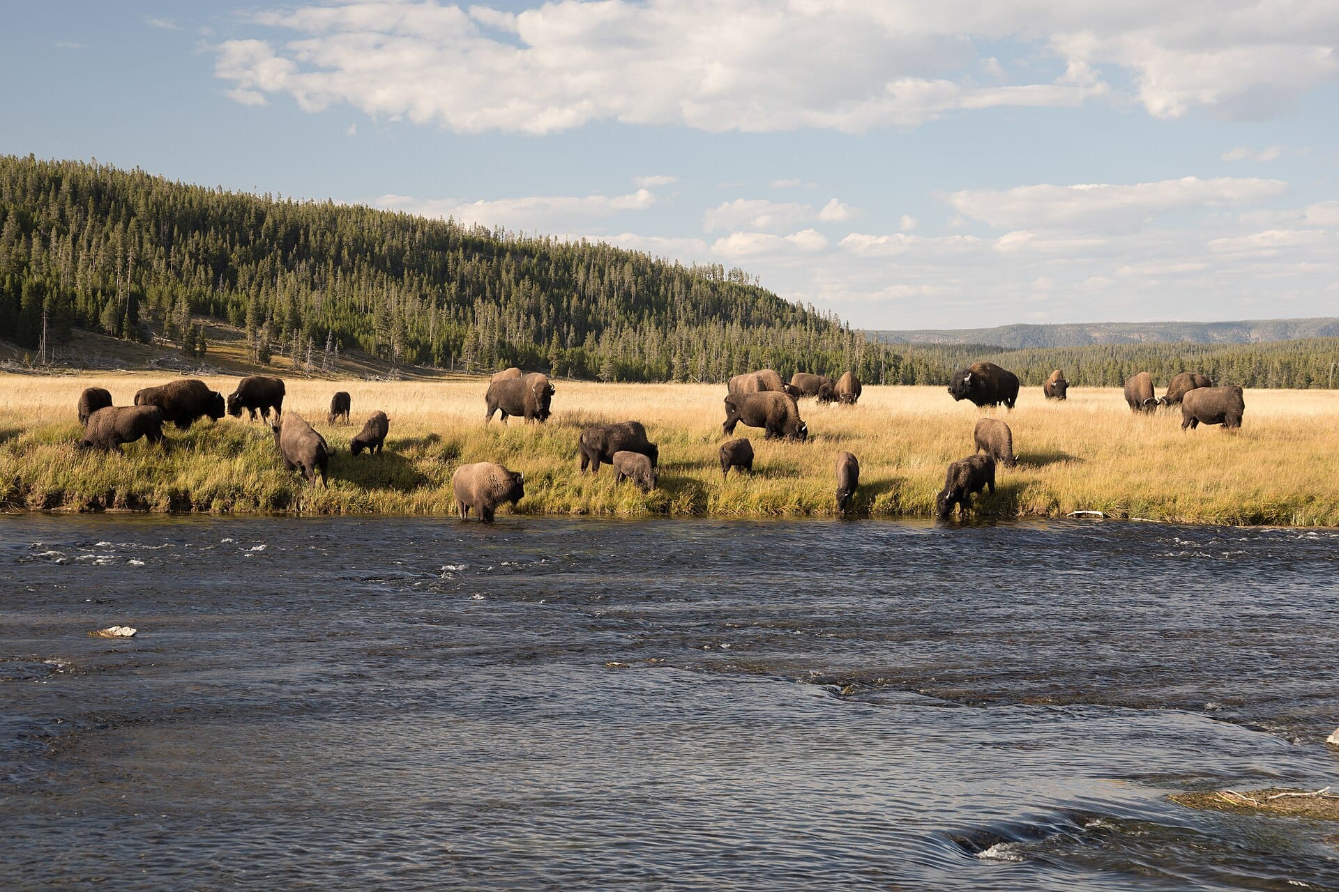
Bison in Yellowstone
USA →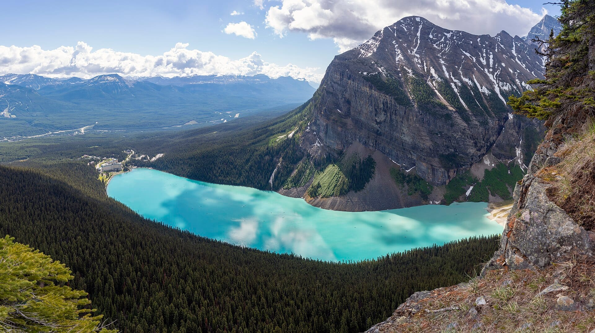
Banff
Canada →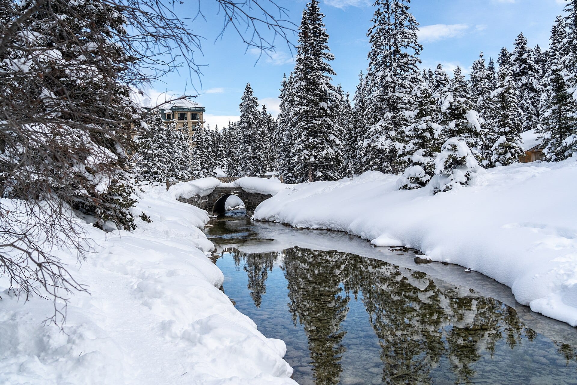
Skating on frozen Lake Louise
Canada →Elsewhere in the USA