Death Valley
The hottest place on earth is an anthology of desert set-pieces in one national park: the rippled Mesquite Flat dunes at dawn, Badwater Basin's salt polygons 86 metres below sea level, Zabriskie Point's golden badlands, plus craters, slot canyons and ghost towns between.
- Best forAdventure
- Approx. flying time~1h from Los Angeles
- Nearest airportLas Vegas (LAS)
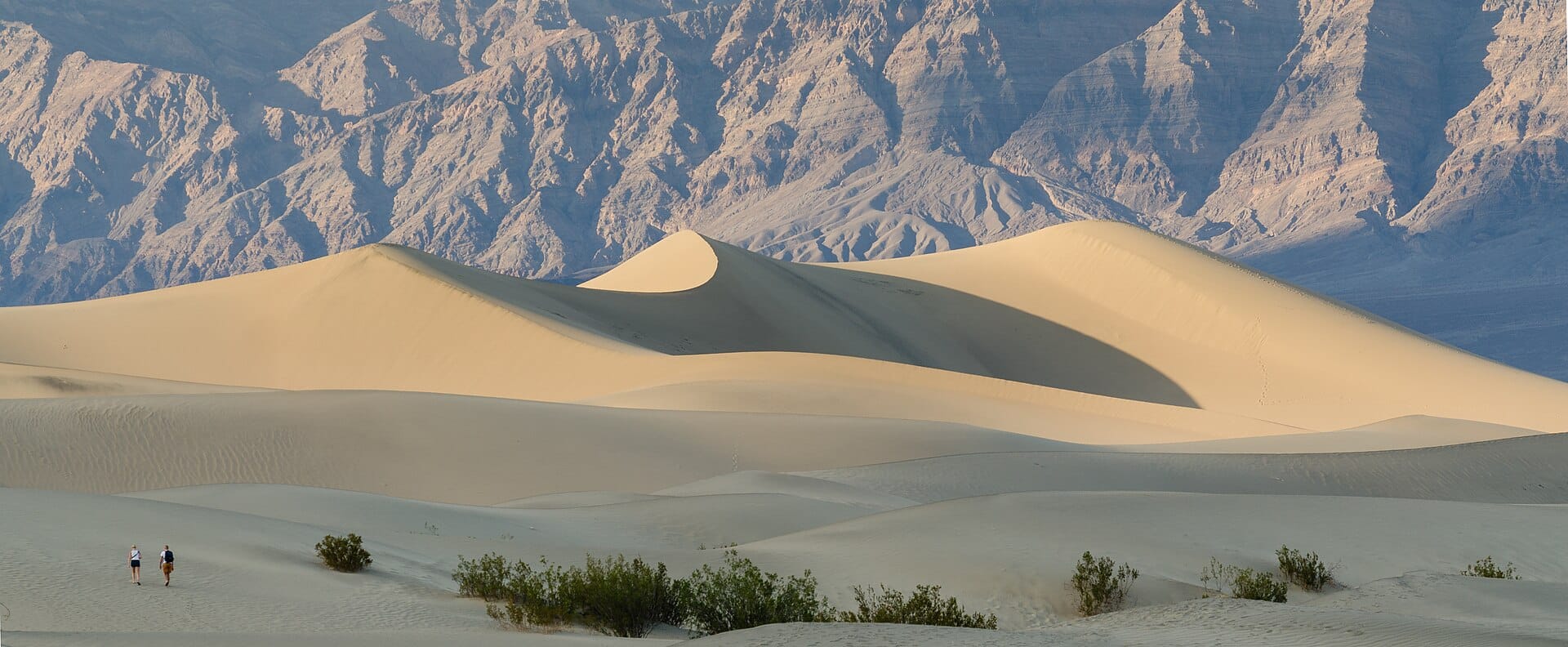
About this place
Base yourself at Furnace Creek and treat summer as closed — November to March is the sane window, and even then carry more water in the car than seems reasonable. The night skies are certified dark and astonishing.
Featured in Ten desert adventures worth the sand in your boots
When to go
Daytime highs run from about 18°C in January to 47°C in July. Driest May to November; wettest in January, with rain on about 3 days.
The year at a glance — pick a month for detail
August45° · rain 1 dayHot and dry.
Monthly figures averaged from daily records for 2020–2024 at this location (ERA5 reanalysis). Highlighted months are warm and mostly dry — February to April and October and November. Live conditions from MET Norway, CC BY 4.0.
Where to stay
Pick a budget to open live availability in Death Valley. Prices are per night for two people.
Flights
Los Angeles Death Valley, California, USA
Fly from anywhere — search 4,000+ airports worldwide.
Roughly 1h in the air from Los Angeles (LAX), estimated from the distance — check for a direct route. Pick a month to see every available flight with live prices.
Check dates and prices
Pick your departure date, then your return.
Search flightsNot sure when? Compare fares across a whole month.
Flight times are estimates; prices open on Google Flights.
Nearby destinations
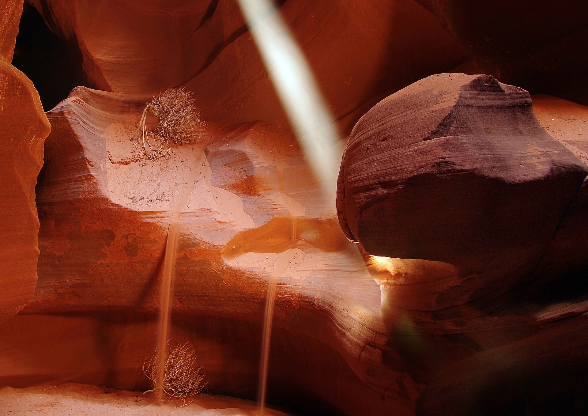
Walking the slot canyons of Antelope Canyon
Arizona, USA · 493km away →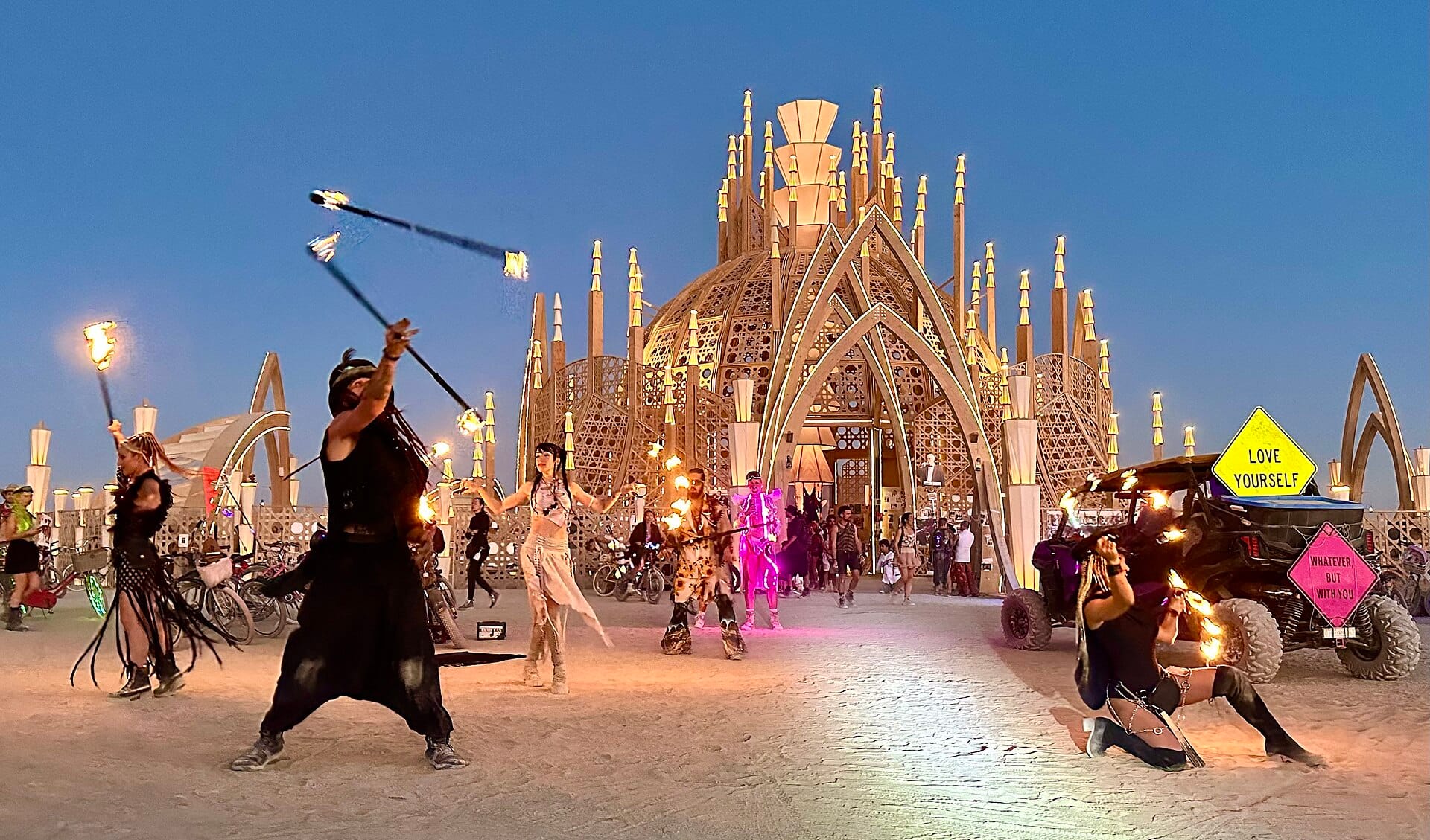
Burning Man
Nevada, USA · 525km away →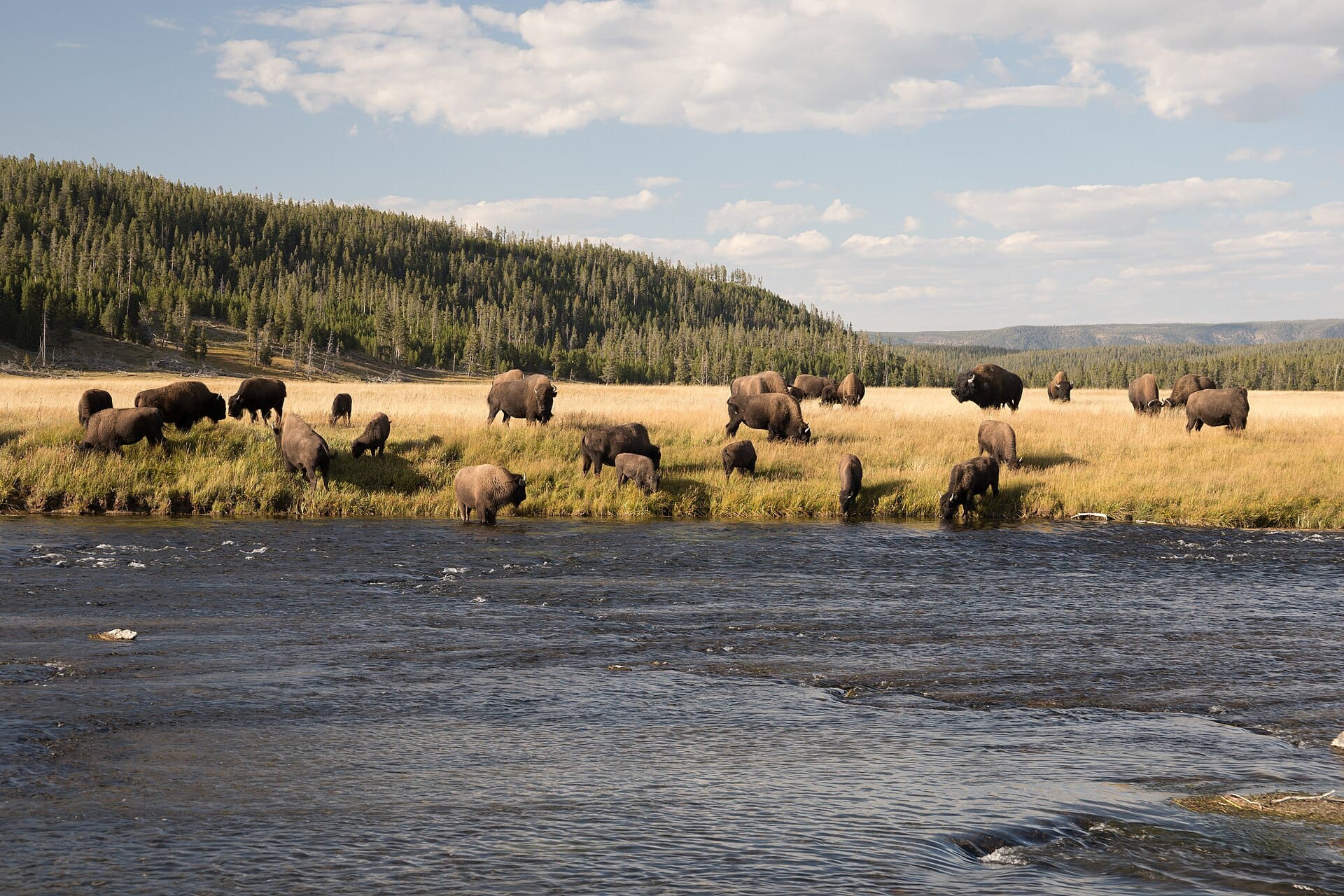
Bison in Yellowstone
USA →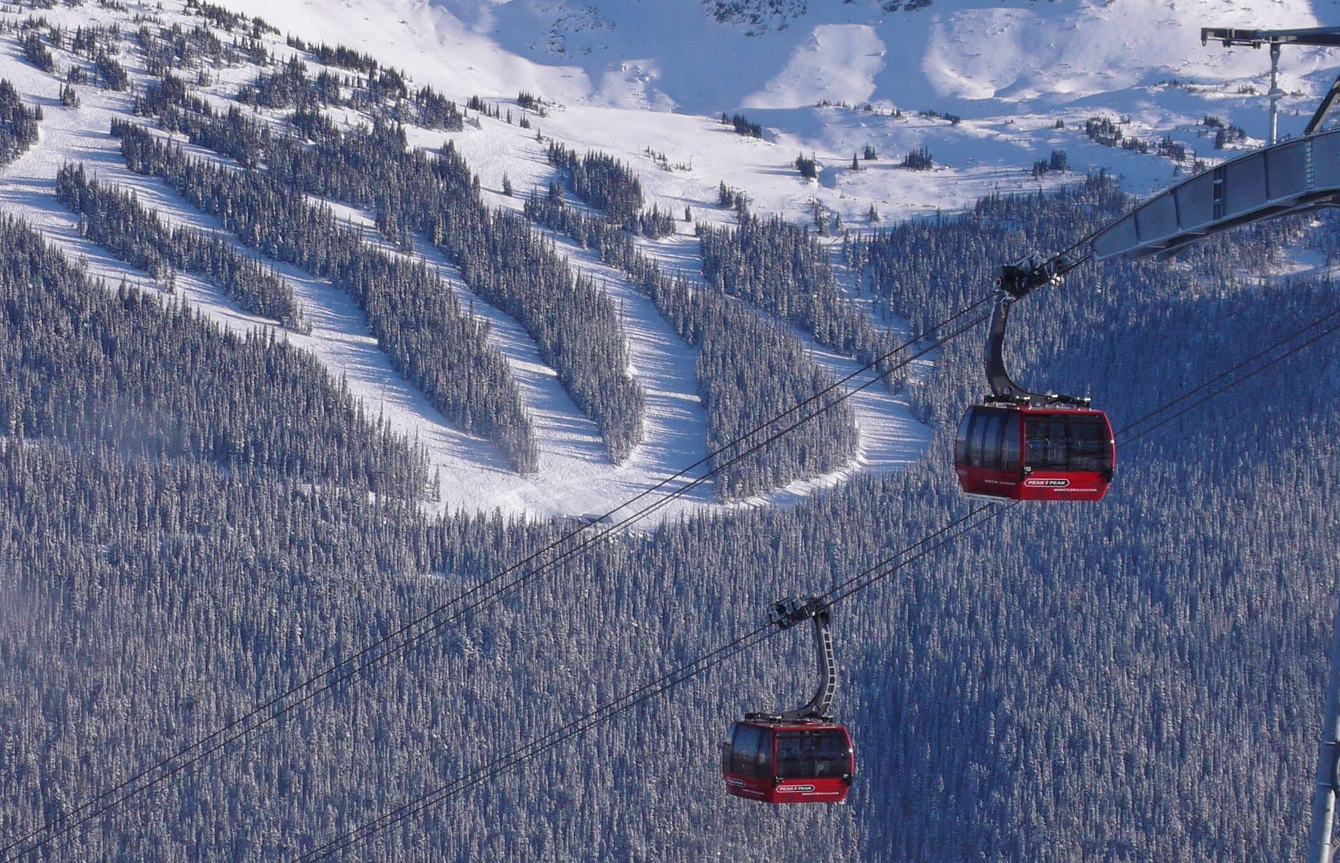
Peak 2 Peak Gondola
Whistler, Canada →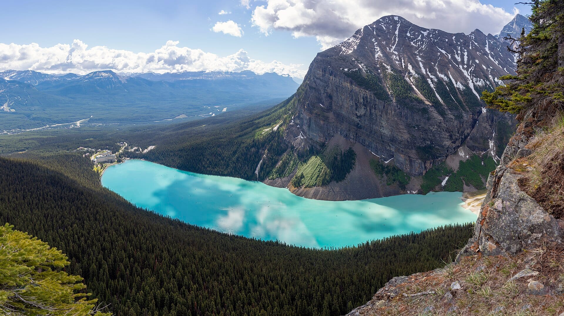
Banff
Canada →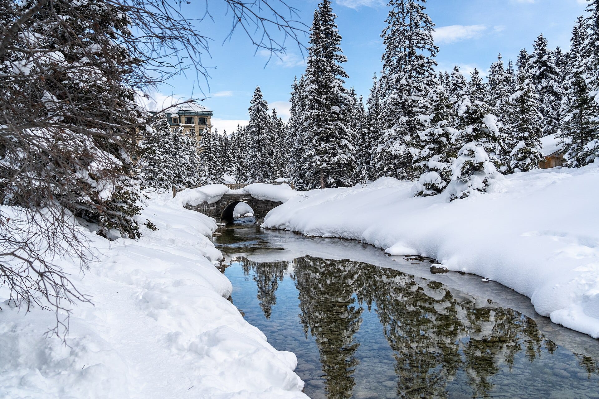
Skating on frozen Lake Louise
Canada →Elsewhere in the USA