Walking the slot canyons of Antelope Canyon
Antelope Canyon is a walk of barely a hundred metres that photographs like another dimension: sandstone corridors carved by flash floods into waves of orange and violet, lit by shafts of sun from above.
- Best forAdventure
- Approx. flying time~1h 25m from Los Angeles
- Nearest airportPage (PGA)
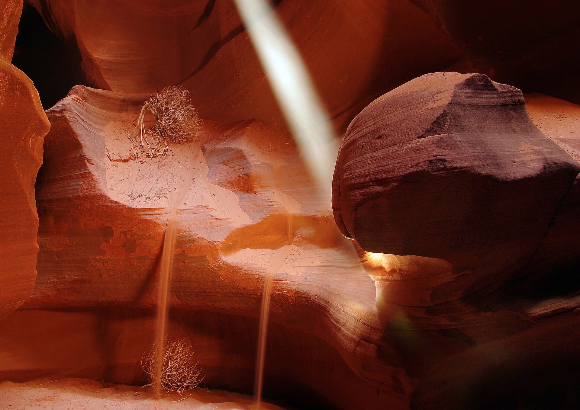
Happens around Antelope Canyon, Arizona, USA — nearest airport Page (PGA).
The experience
Navajo guides lead every visit — book the midday slots between March and October, when the famous light beams reach the canyon floor. Upper Antelope is flat and effortless; Lower adds a few ladders and loses some crowds. No fitness needed, just elbows for the photo spots.
Featured in Ten adventures you can do without any training
When to go
Daytime highs run from about 8°C in January to 37°C in July. Driest April to July and November; wettest in March, with rain on about 5 days.
The year at a glance — pick a month for detail
August35° · rain 3 daysHot with the odd shower.
Monthly figures averaged from daily records for 2020–2024 at this location (ERA5 reanalysis). Highlighted months are warm and mostly dry — April and May and September and October. Live conditions from MET Norway, CC BY 4.0.
Where to base yourself
Pick a budget to open live availability in Antelope Canyon. Prices are per night for two people.
Flights
Los Angeles Antelope Canyon, Arizona, USA
Fly from anywhere — search 4,000+ airports worldwide.
Roughly 1h 25m in the air from Los Angeles (LAX), estimated from the distance — check for a direct route. Pick a month to see every available flight with live prices.
Check dates and prices
Pick your departure date, then your return.
Search flightsNot sure when? Compare fares across a whole month.
Flight times are estimates; prices open on Google Flights.
Nearby destinations
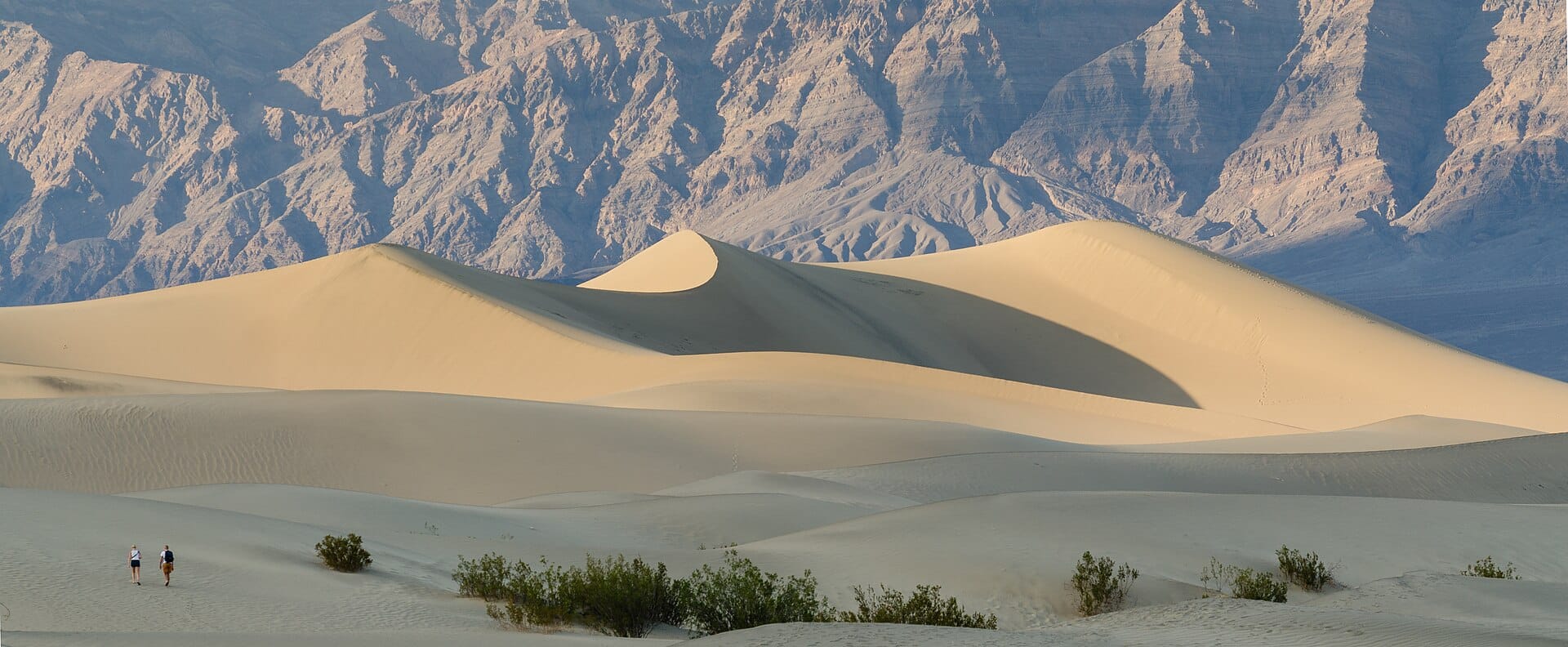
Death Valley
California, USA · 493km away →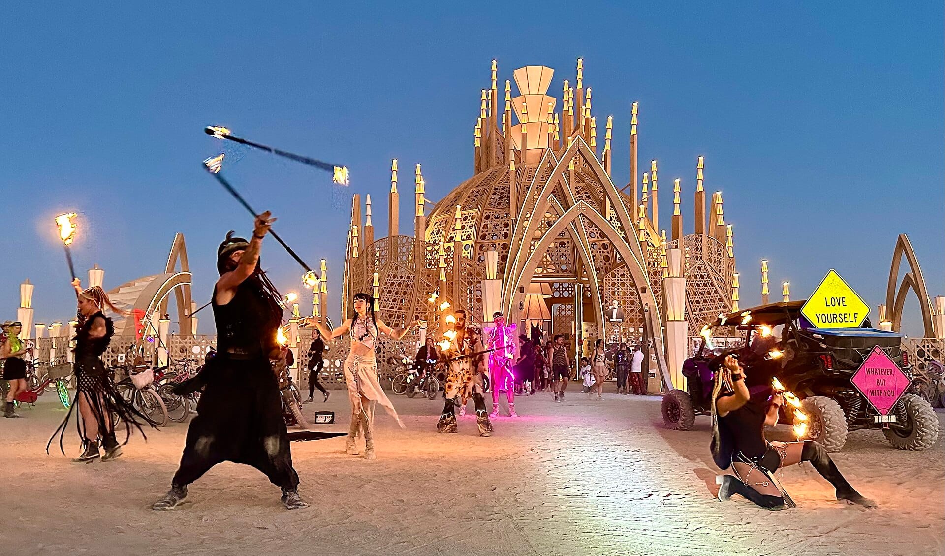
Burning Man
Nevada, USA · 799km away →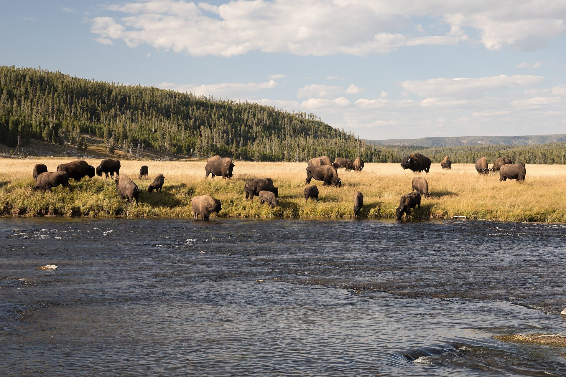
Bison in Yellowstone
USA →
Austin
Texas →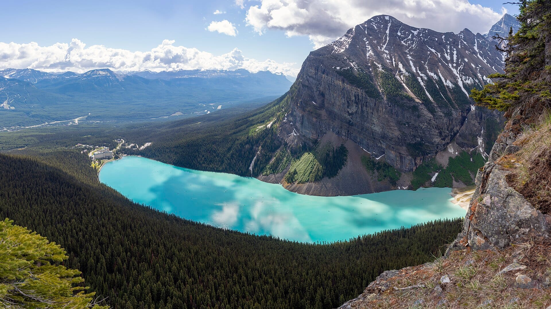
Banff
Canada →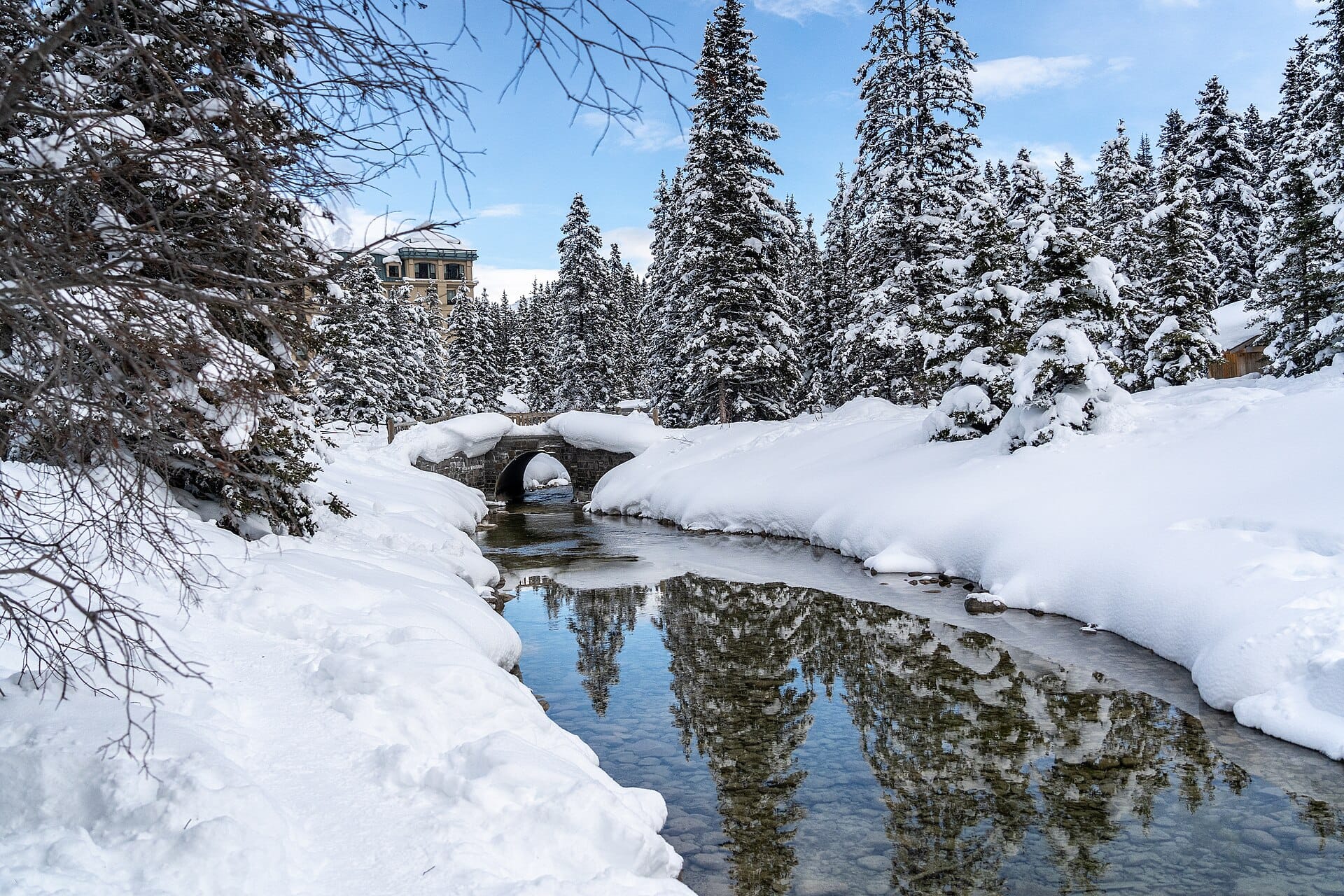
Skating on frozen Lake Louise
Canada →Elsewhere in the USA