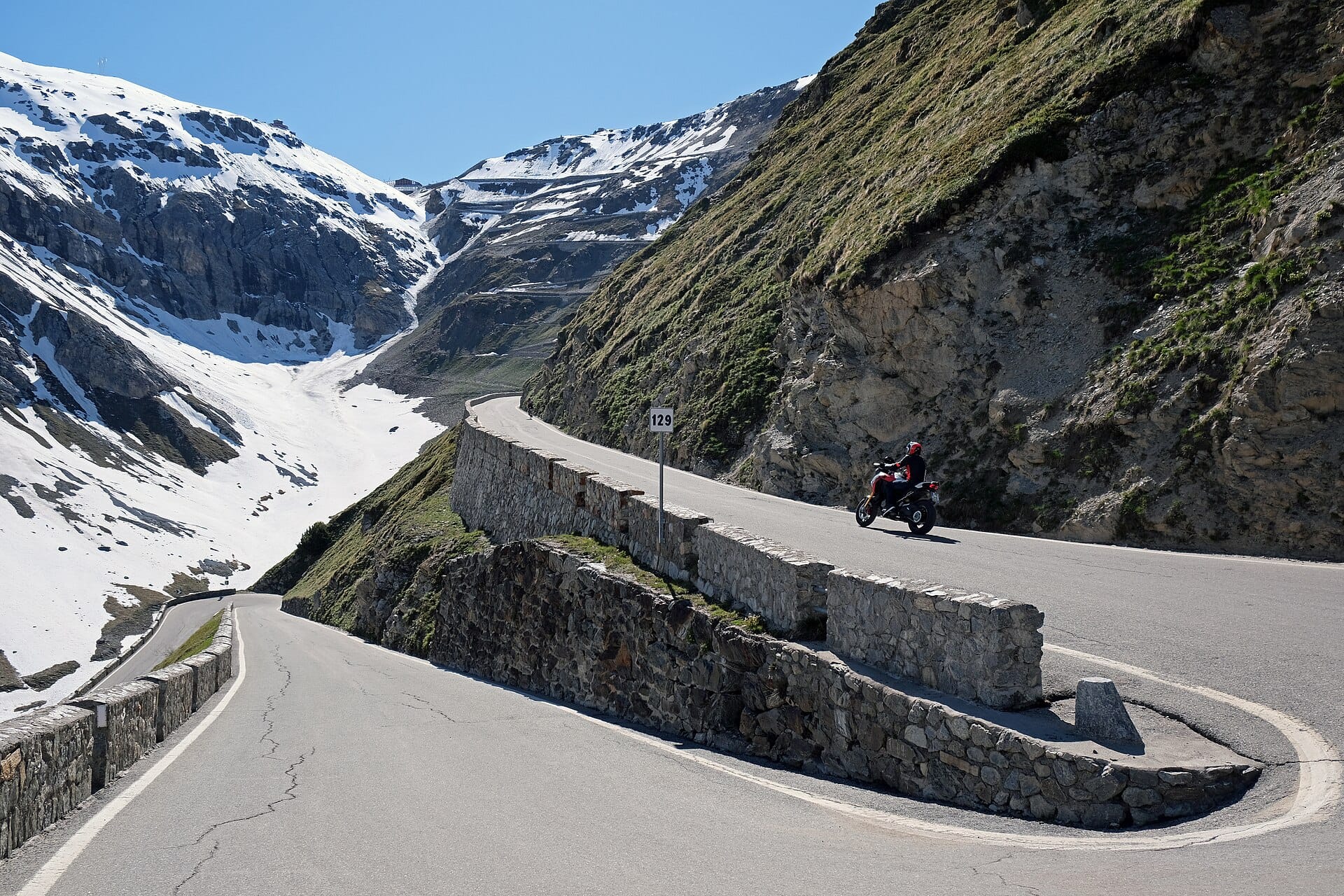
Pacific Coast Highway
Highway 1 between San Francisco and Los Angeles is the myth that delivers: Golden Gate fog, Big Sur's cliffs and condors, elephant seals lolling at San Simeon, surf towns fading into LA haze.
- Best forAdventure
- Approx. flying time~0h 35m from Los Angeles
- Nearest airportLong Beach (LGB)
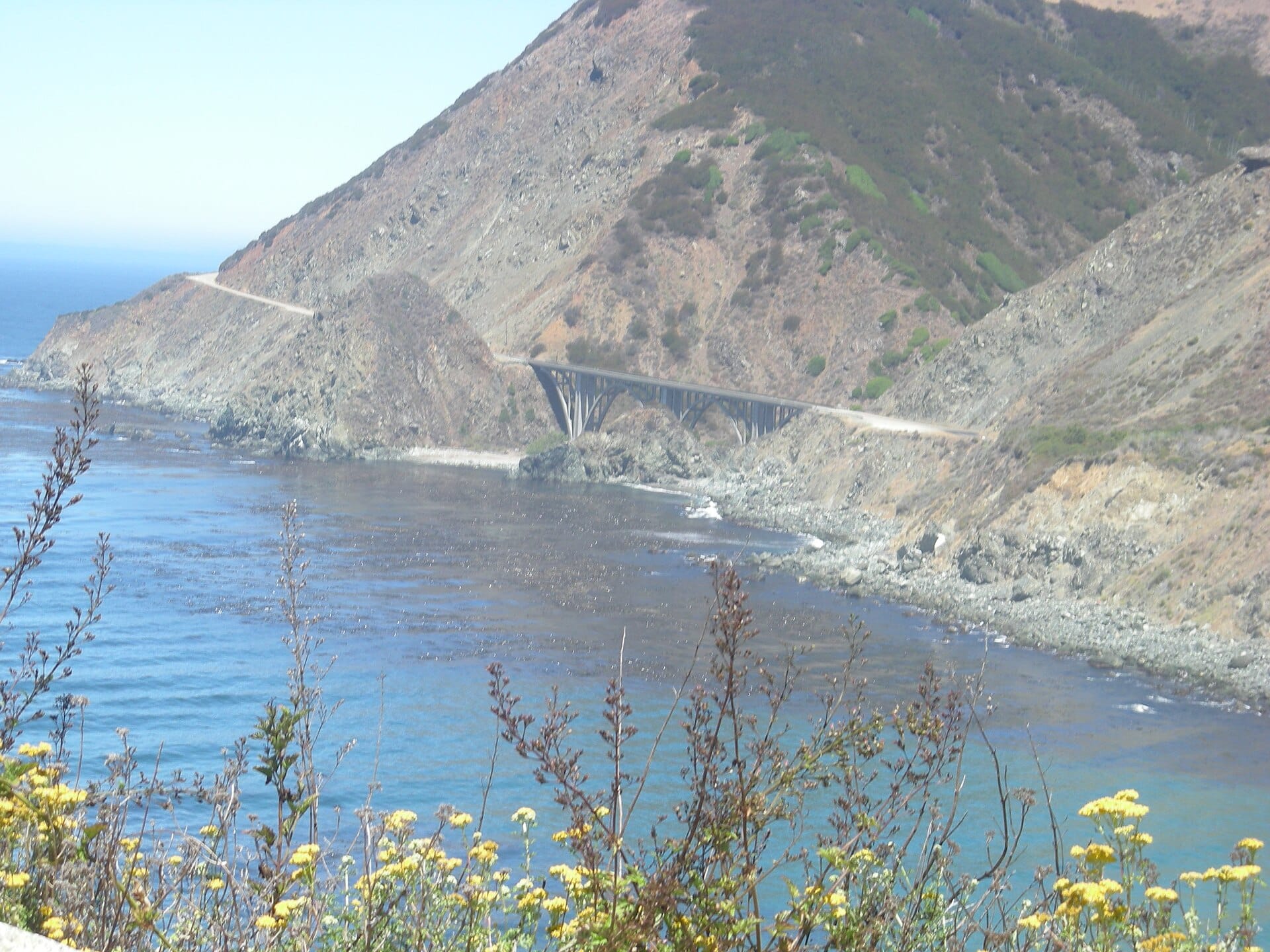
About this place
Drive north to south to keep the ocean on your side. Three days minimum with stops at Monterey and a Big Sur lodge — book the latter early; the redwoods have a following.
Featured in Ten epic road trips for your someday list
When to go
Daytime highs run from about 18°C in January to 29°C in August. Driest May to November; wettest in March, with rain on about 8 days.
The year at a glance — pick a month for detail
August29° · rain 1 dayWarm and dry.
Monthly figures averaged from daily records for 2020–2024 at this location (ERA5 reanalysis). Highlighted months are warm and mostly dry — April to November. Live conditions from MET Norway, CC BY 4.0.
Where to stay
Pick a budget to open live availability in Pacific Coast Highway. Prices are per night for two people.
Flights
Los Angeles Pacific Coast Highway, California, USA
Fly from anywhere — search 4,000+ airports worldwide.
Roughly 0h 35m in the air from Los Angeles (LAX), estimated from the distance — check for a direct route. Pick a month to see every available flight with live prices.
Check dates and prices
Pick your departure date, then your return.
Search flightsNot sure when? Compare fares across a whole month.
Flight times are estimates; prices open on Google Flights.
Nearby destinations
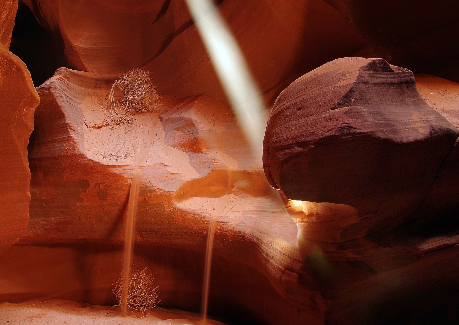
Walking the slot canyons of Antelope Canyon
Arizona, USA · 706km away →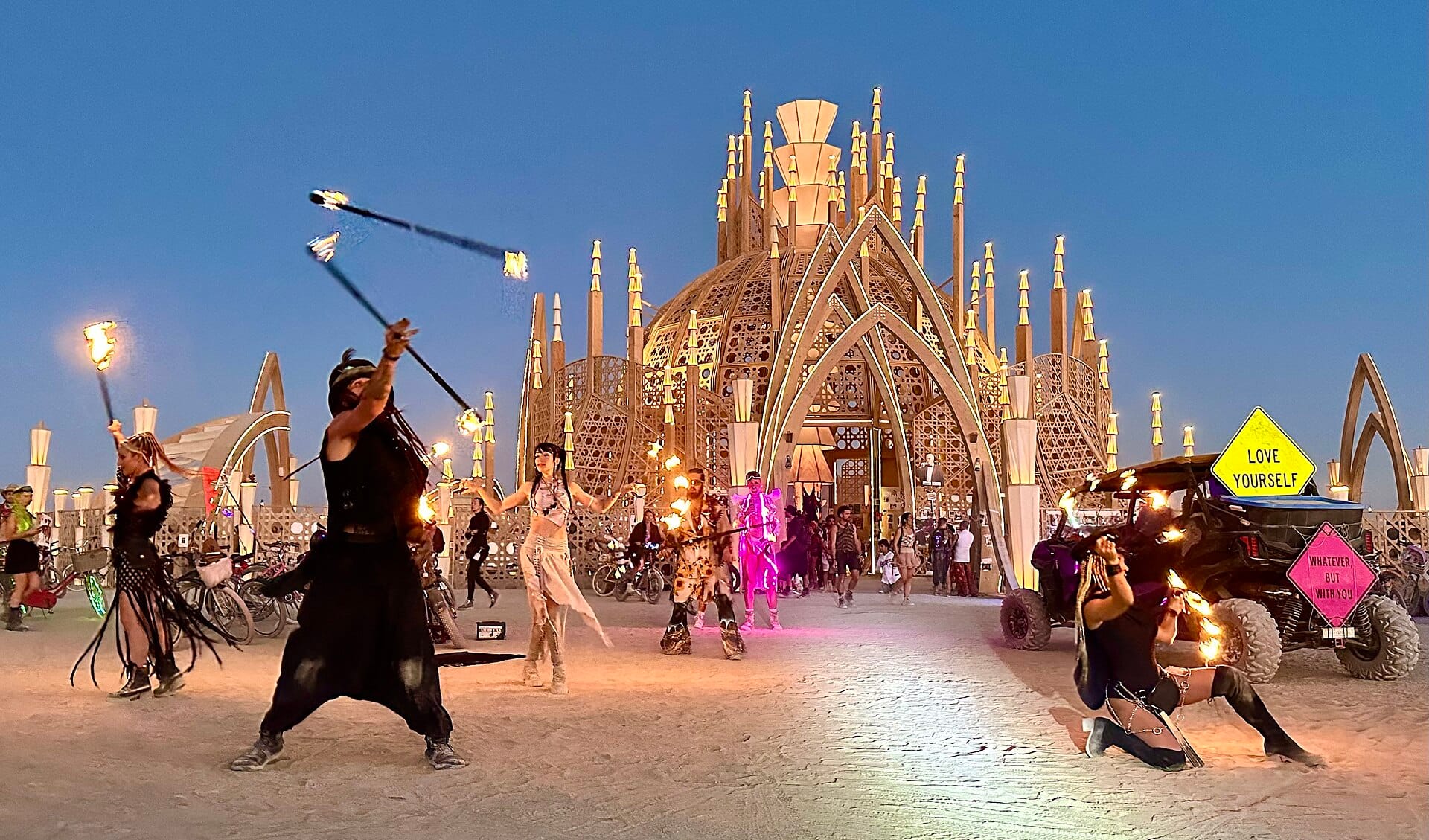
Burning Man
Nevada, USA · 784km away →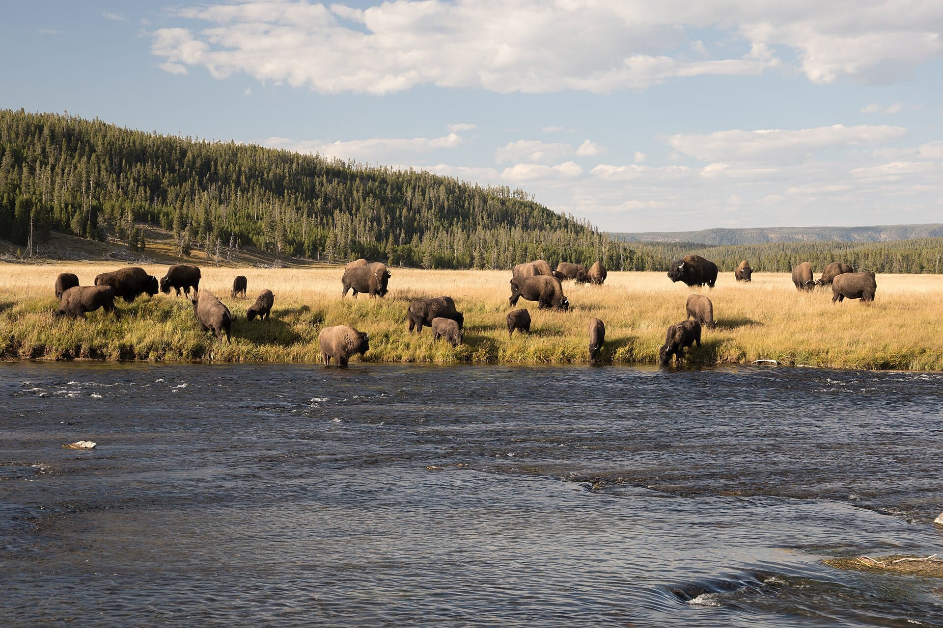
Bison in Yellowstone
USA →
Peak 2 Peak Gondola
Whistler, Canada →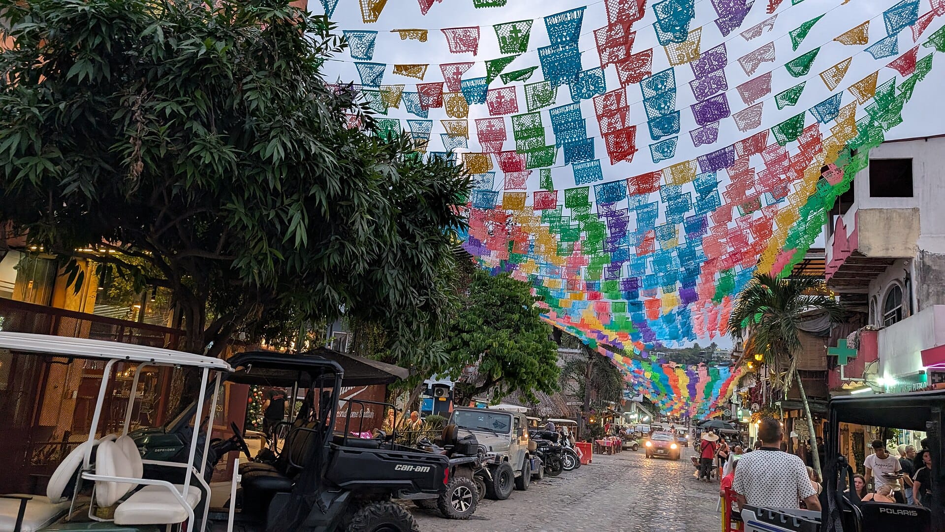
Sayulita
Mexico →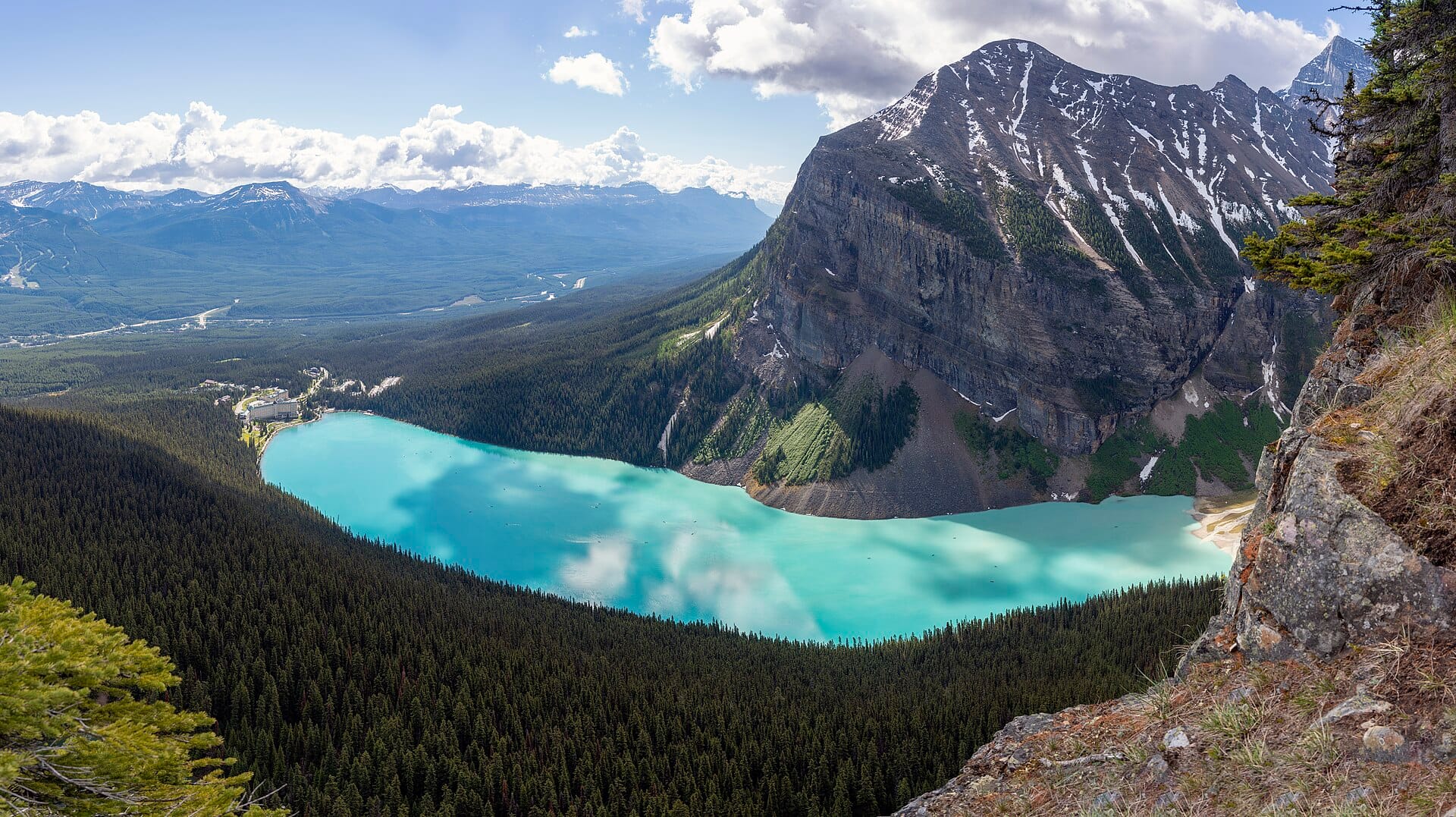
Banff
Canada →Elsewhere in the USA